File:Papaloapan River.svg

Size of this PNG preview of this SVG file: 600 × 600 pixels. Other resolutions: 240 × 240 pixels | 480 × 480 pixels | 768 × 768 pixels | 1,024 × 1,024 pixels | 2,048 × 2,048 pixels.
Original file (SVG file, nominally 800 × 800 pixels, file size: 1.35 MB)
Captions
Captions
Add a one-line explanation of what this file represents
Summary edit
| Description |
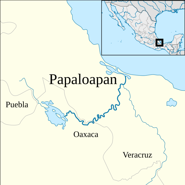
English: Location of Papaloapan River within Mexico Español: Ubicación del Río Papaloapan en México |
| Date | |
| Source | Own work |
| Author | EOZyo |
| SVG development |
Licensing edit
I, the copyright holder of this work, hereby publish it under the following license:
This file is licensed under the Creative Commons Attribution-Share Alike 3.0 Unported license.
- You are free:
- to share – to copy, distribute and transmit the work
- to remix – to adapt the work
- Under the following conditions:
- attribution – You must give appropriate credit, provide a link to the license, and indicate if changes were made. You may do so in any reasonable manner, but not in any way that suggests the licensor endorses you or your use.
- share alike – If you remix, transform, or build upon the material, you must distribute your contributions under the same or compatible license as the original.
File history
Click on a date/time to view the file as it appeared at that time.
| Date/Time | Thumbnail | Dimensions | User | Comment | |
|---|---|---|---|---|---|
| current | 08:31, 24 May 2011 | | 800 × 800 (1.35 MB) | EOZyo (talk | contribs) | Changed the overall look |
| 07:58, 24 May 2011 |  | 2,029 × 1,326 (2 MB) | EOZyo (talk | contribs) | Corrections in colors, selected the correct river | |
| 07:25, 24 May 2011 |  | 2,029 × 1,326 (2 MB) | EOZyo (talk | contribs) |
You cannot overwrite this file.
File usage on Commons
There are no pages that use this file.
File usage on other wikis
The following other wikis use this file:
- Usage on es.wikipedia.org