File:Parque Caburni, Salto de Caburní - panoramio (1).jpg
Size of this preview: 799 × 599 pixels. Other resolutions: 320 × 240 pixels | 640 × 480 pixels | 1,024 × 768 pixels | 1,280 × 960 pixels | 2,133 × 1,600 pixels.
Original file (2,133 × 1,600 pixels, file size: 1.23 MB, MIME type: image/jpeg)
Captions
Captions
Add a one-line explanation of what this file represents
Summary
edit.jpg&action=edit§ion=1)
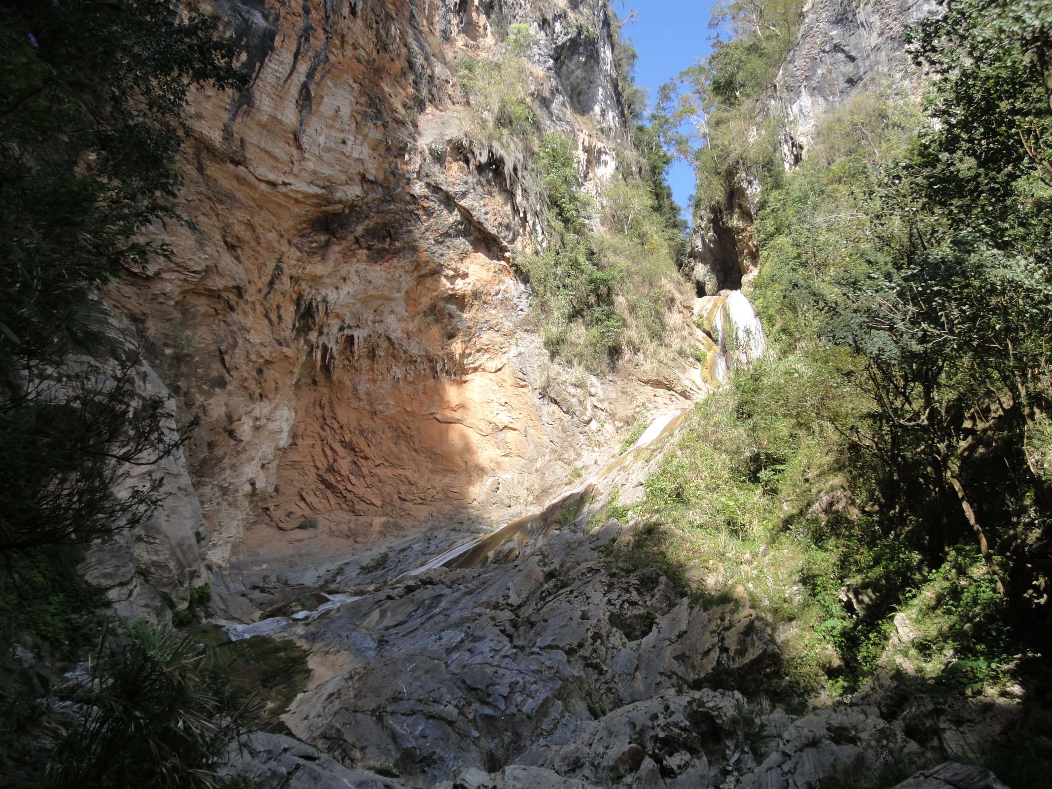
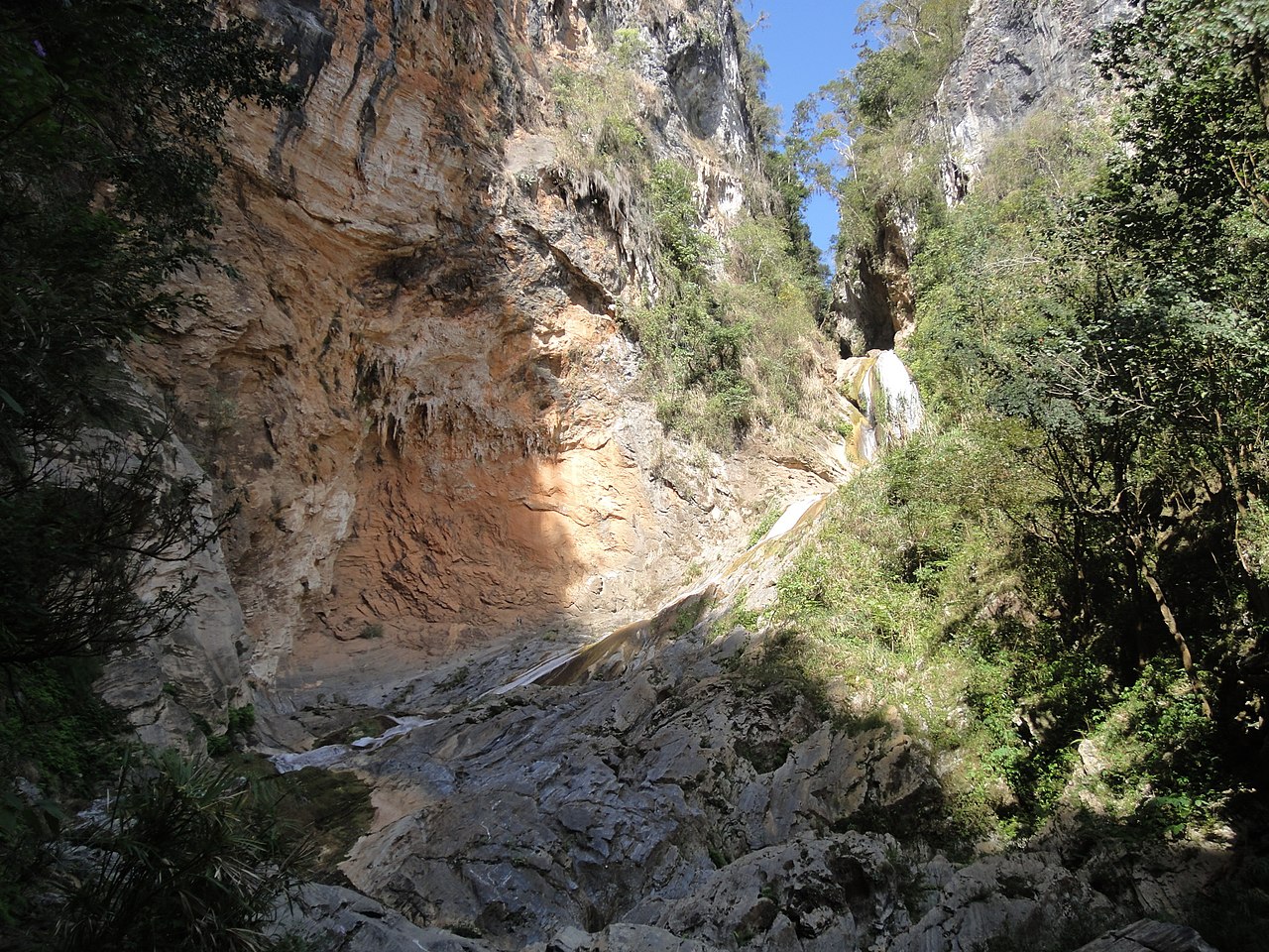
| Description | Parque Caburni, Salto de Caburní | ||
| Date | Taken on 2 March 2012 | ||
| Source | https://web.archive.org/web/20161027011834/http://www.panoramio.com/photo/72652327 | ||
| Author | nurzumspass | ||
| Permission (Reusing this file) |
This file is licensed under the Creative Commons Attribution-Share Alike 3.0 Unported license. Attribution: nurzumspass
|
||
| Tags (from Panoramio photo page) | Trinidad |
| Camera location | | View this and other nearby images on: OpenStreetMap |
|---|
.jpg¶ms=021.921031_N_-080.004716_E_globe:Earth_type:camera_source:Panoramio_&language=en)
File history
Click on a date/time to view the file as it appeared at that time.
| Date/Time | Thumbnail | Dimensions | User | Comment | |
|---|---|---|---|---|---|
| current | 16:49, 3 January 2017 | | 2,133 × 1,600 (1.23 MB) | Panoramio upload bot (talk | contribs) | == {{int:filedesc}} == {{Information |description=Parque Caburni, Salto de Caburní |date={{Taken on|2012-03-02}} |source=http://www.panoramio.com/photo/72652327 |author=[http://www.panoramio.com/user/5408350?with_photo_id=72652327 nurzumspass] |permis... |
You cannot overwrite this file.
File usage on Commons
There are no pages that use this file.
.jpg&oldid=721368852)