File:Parroquia El Mene.PNG

Size of this preview: 800 × 464 pixels. Other resolutions: 320 × 186 pixels | 640 × 371 pixels | 914 × 530 pixels.
Original file (914 × 530 pixels, file size: 58 KB, MIME type: image/png)
Captions
Captions
Add a one-line explanation of what this file represents
Summary
edit
| Description |
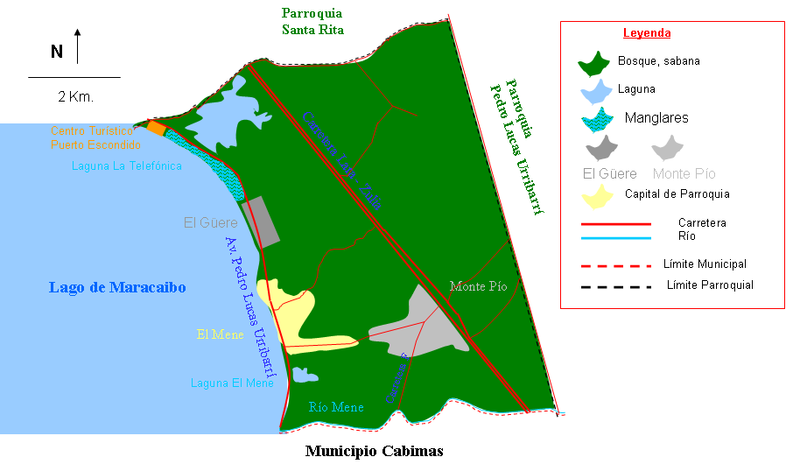
Español: Mapa de la Parroquia El Mene, Municipio Santa Rita, Estado Zulia, Venezuela |
| Date | |
| Source | Own work |
| Author | Andrés González |
Licensing
edit
| I, the copyright holder of this work, release this work into the public domain. This applies worldwide. In some countries this may not be legally possible; if so: I grant anyone the right to use this work for any purpose, without any conditions, unless such conditions are required by law. |
File history
Click on a date/time to view the file as it appeared at that time.
| Date/Time | Thumbnail | Dimensions | User | Comment | |
|---|---|---|---|---|---|
| current | 16:06, 16 February 2012 | | 914 × 530 (58 KB) | Andrés González (talk | contribs) | Mapa nuevo, mas detallado, con escala gráfica, norte, leyenda, se incluye la población del Güere, se excluye Tolosa y se incluyen carreteras |
| 12:55, 16 March 2009 |  | 422 × 250 (9 KB) | Andrés González (talk | contribs) | ||
| 12:47, 16 March 2009 |  | 448 × 300 (9 KB) | Andrés González (talk | contribs) | {{Information |Description={{es|1=Mapa de la Parroquia El Mene, Municipio Santa Rita, Estado Zulia, Venezuela}} |Source=Own work by uploader |Author=Andrés González |Date=16-3-2009 |Permission= |other_versions= }} <!--{{Image |
You cannot overwrite this file.
File usage on Commons
There are no pages that use this file.
File usage on other wikis
The following other wikis use this file: