File:Pasture north of Mount Farm - geograph.org.uk - 1231010.jpg
No higher resolution available.
Pasture_north_of_Mount_Farm_-_geograph.org.uk_-_1231010.jpg (640 × 410 pixels, file size: 136 KB, MIME type: image/jpeg)
Captions
Captions
Add a one-line explanation of what this file represents
Summary
edit
| Description |
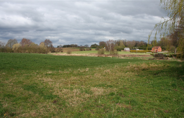
English: Pasture north of Mount Farm. Gently undulating pasture north of Whitchurch. A brook between the field and the housing estate of The Grove is just out of view to the right of the picture. The red-brick house in the distance (right) is Fairy Glen Villas. View from the public footpath between Tarporley Road and The Fields farm, at the point where the footpath diverges from the farmtrack. The dismantled Whitchurch to Chester railway line runs along the field boundary of this field; see 219365, taken from slightly further north on this footpath |
| Date | |
| Source | From geograph.org.uk |
| Author | Espresso Addict |
| Attribution (required by the license) | Espresso Addict / Pasture north of Mount Farm / |
| Camera location | | View this and other nearby images on: OpenStreetMap |
|---|
_heading:0.00&language=en)
| Object location | | View this and other nearby images on: OpenStreetMap |
|---|
_heading:0.00&language=en)
Licensing
edit

|
This image was taken from the Geograph project collection. See this photograph's page on the Geograph website for the photographer's contact details. The copyright on this image is owned by Espresso Addict and is licensed for reuse under the Creative Commons Attribution-ShareAlike 2.0 license.
|
This file is licensed under the Creative Commons Attribution-Share Alike 2.0 Generic license.
Attribution: Espresso Addict
- You are free:
- to share – to copy, distribute and transmit the work
- to remix – to adapt the work
- Under the following conditions:
- attribution – You must give appropriate credit, provide a link to the license, and indicate if changes were made. You may do so in any reasonable manner, but not in any way that suggests the licensor endorses you or your use.
- share alike – If you remix, transform, or build upon the material, you must distribute your contributions under the same or compatible license as the original.
File history
Click on a date/time to view the file as it appeared at that time.
| Date/Time | Thumbnail | Dimensions | User | Comment | |
|---|---|---|---|---|---|
| current | 13:56, 26 February 2011 | | 640 × 410 (136 KB) | GeographBot (talk | contribs) | == {{int:filedesc}} == {{Information |description={{en|1=Pasture north of Mount Farm Gently undulating pasture north of Whitchurch. A brook between the field and the housing estate of The Grove is just out of view to the right of the picture. The red-bric |
You cannot overwrite this file.
File usage on Commons
There are no pages that use this file.