File:Path on the railway trackbed - geograph.org.uk - 1313490.jpg
No higher resolution available.
Path_on_the_railway_trackbed_-_geograph.org.uk_-_1313490.jpg (640 × 480 pixels, file size: 248 KB, MIME type: image/jpeg)
Captions
Captions
Add a one-line explanation of what this file represents
Summary edit
| Description |
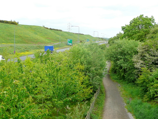
English: Path on the railway trackbed A section of the old Bristol and Gloucester Railway which closed at the beginning of 1970. The A4174 Bristol outer ring road shares some of the route.
Looking north from the B4465 at Shortwood. |
| Date | |
| Source | From geograph.org.uk |
| Author | Jonathan Billinger |
| Attribution (required by the license) | Jonathan Billinger / Path on the railway trackbed / |
| Camera location | | View this and other nearby images on: OpenStreetMap |
|---|
_heading:22.00&language=en)
| Object location | | View this and other nearby images on: OpenStreetMap |
|---|
_heading:22.00&language=en)
Licensing edit

|
This image was taken from the Geograph project collection. See this photograph's page on the Geograph website for the photographer's contact details. The copyright on this image is owned by Jonathan Billinger and is licensed for reuse under the Creative Commons Attribution-ShareAlike 2.0 license.
|
This file is licensed under the Creative Commons Attribution-Share Alike 2.0 Generic license.
Attribution: Jonathan Billinger
- You are free:
- to share – to copy, distribute and transmit the work
- to remix – to adapt the work
- Under the following conditions:
- attribution – You must give appropriate credit, provide a link to the license, and indicate if changes were made. You may do so in any reasonable manner, but not in any way that suggests the licensor endorses you or your use.
- share alike – If you remix, transform, or build upon the material, you must distribute your contributions under the same or compatible license as the original.
File history
Click on a date/time to view the file as it appeared at that time.
| Date/Time | Thumbnail | Dimensions | User | Comment | |
|---|---|---|---|---|---|
| current | 17:41, 27 February 2011 | | 640 × 480 (248 KB) | GeographBot (talk | contribs) | == {{int:filedesc}} == {{Information |description={{en|1=Path on the railway trackbed A section of the old Bristol and Gloucester Railway which closed at the beginning of 1970. The A4174 Bristol outer ring road shares some of the route. Looking north fro |
You cannot overwrite this file.
File usage on Commons
There are no pages that use this file.