File:Pavlovsky Posad Kropotkina 28 14.JPG

Size of this preview: 800 × 533 pixels. Other resolutions: 320 × 213 pixels | 640 × 427 pixels | 1,024 × 683 pixels | 1,280 × 853 pixels | 2,400 × 1,600 pixels.
Original file (2,400 × 1,600 pixels, file size: 1.35 MB, MIME type: image/jpeg)
Captions
Captions
Add a one-line explanation of what this file represents
| Description |
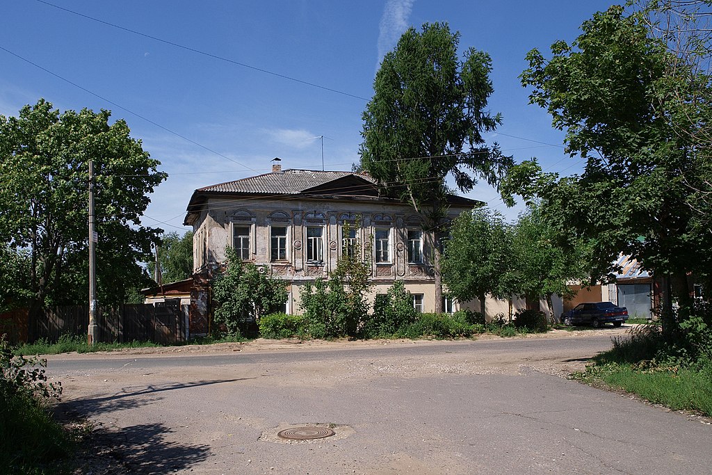
Русский: Павловский Посад. Улица Кропоткина. Дом Рязанкина (один из двух, это тот, что южнее) - объект культурного наследия 5000002440.
English: Pavlovsky Posad. Kropotkina Street. One of two Ryazankin Houses (this one #28) - listed heritage 5000002440.
|
||||
| Date | Taken on 23 July 2011 | ||||
| Source | Photo: NVO | ||||
| Author | Photo: NVO. | ||||
| Permission (Reusing this file) |
English: Usage on wikipedia: consider copying the file to wikipedia's own image space under the same Creative Commons license. Images on commons.wikimedia.org may be deleted at will at any time without warning on wikipedia. Deleted images are not retained on wikipedia. Русский: При использовании фотографии в статьях википедии рекомендуется копировать файлы в локальную википедию под той же лицензией (Creative Commons). Файлы, размещенные на коммонс, могут быть удалены в любой момент, уведомлять пользователей в википедии никто не будет. This file is licensed under the Creative Commons Attribution-Share Alike 3.0 Unported license.
|
| Camera location | | View this and other nearby images on: OpenStreetMap |
|---|
File history
Click on a date/time to view the file as it appeared at that time.
| Date/Time | Thumbnail | Dimensions | User | Comment | |
|---|---|---|---|---|---|
| current | 03:35, 3 September 2011 | | 2,400 × 1,600 (1.35 MB) | NVO (talk | contribs) | {{Information |Description= {{ru|Павловский Посад. Улица Кропоткина. Дом Рязанкина (один из двух, это тот, что южнее) - объект культурного наследия 5000002440. }} { |
You cannot overwrite this file.
File usage on Commons
There are no pages that use this file.