File:Peer Limburg Belgium Map.svg

Size of this PNG preview of this SVG file: 585 × 599 pixels. Other resolutions: 234 × 240 pixels | 469 × 480 pixels | 750 × 768 pixels | 1,000 × 1,024 pixels | 2,000 × 2,048 pixels | 709 × 726 pixels.
Original file (SVG file, nominally 709 × 726 pixels, file size: 2.3 MB)
Captions
Captions
Add a one-line explanation of what this file represents
Summary edit
| Description |
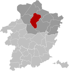
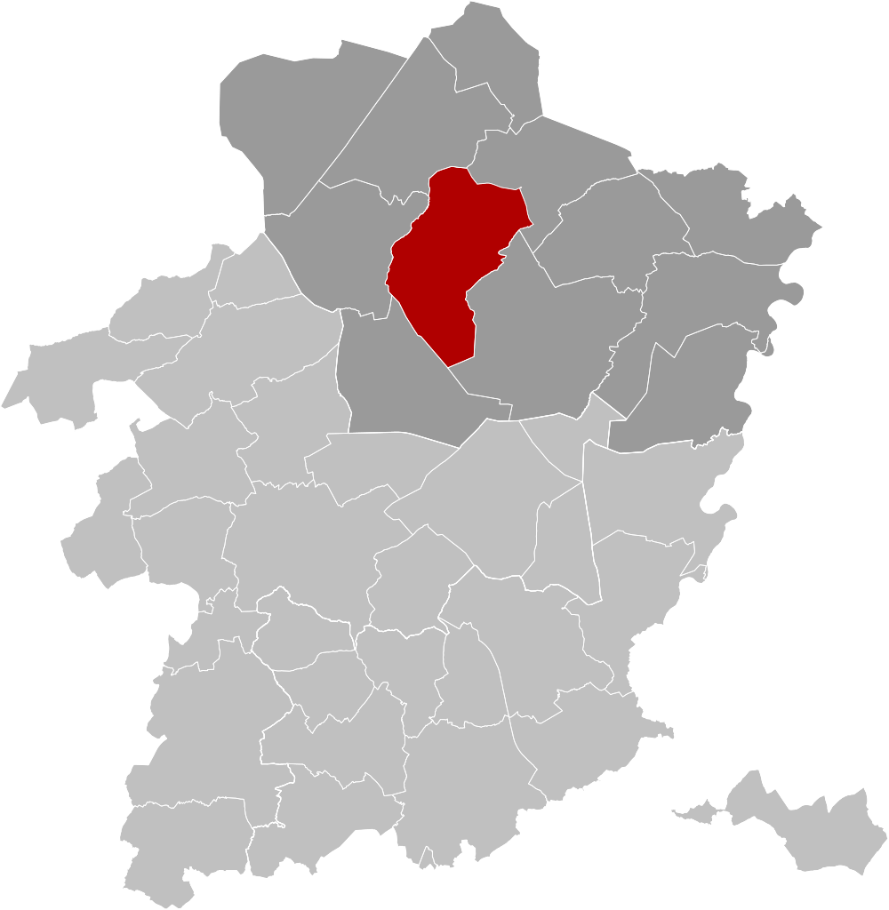
Français : Carte indiquant la localisation de la commune de Peer en rouge dans son arrondissement et la province de Limbourg.
English: Map of Peer in province of Limburg, Belgium. |
| Date | |
| Source | Own work |
| Author | OD02fr |
Licensing edit
I, the copyright holder of this work, hereby publish it under the following license:
This file is licensed under the Creative Commons Attribution-Share Alike 4.0 International license.
- You are free:
- to share – to copy, distribute and transmit the work
- to remix – to adapt the work
- Under the following conditions:
- attribution – You must give appropriate credit, provide a link to the license, and indicate if changes were made. You may do so in any reasonable manner, but not in any way that suggests the licensor endorses you or your use.
- share alike – If you remix, transform, or build upon the material, you must distribute your contributions under the same or compatible license as the original.
File history
Click on a date/time to view the file as it appeared at that time.
| Date/Time | Thumbnail | Dimensions | User | Comment | |
|---|---|---|---|---|---|
| current | 19:06, 28 September 2019 | | 709 × 726 (2.3 MB) | OD02fr (talk | contribs) | User created page with UploadWizard |
You cannot overwrite this file.
File usage on Commons
The following page uses this file:
File usage on other wikis
The following other wikis use this file:
- Usage on br.wikipedia.org
- Usage on ca.wikipedia.org
- Usage on el.wikipedia.org
- Usage on en.wikipedia.org
- Usage on es.wikipedia.org
- Usage on eu.wikipedia.org
- Usage on fr.wikipedia.org
- Usage on lb.wikipedia.org
- Usage on nl.wikipedia.org
- Usage on ru.wikipedia.org
- Usage on vi.wikipedia.org
- Usage on vo.wikipedia.org
- Usage on www.wikidata.org
- Usage on zea.wikipedia.org
- Usage on zh.wikipedia.org