File:Pendren village drone view.jpg

Size of this preview: 800 × 452 pixels. Other resolutions: 320 × 181 pixels | 640 × 361 pixels | 1,275 × 720 pixels.
Original file (1,275 × 720 pixels, file size: 732 KB, MIME type: image/jpeg)
Captions
Captions
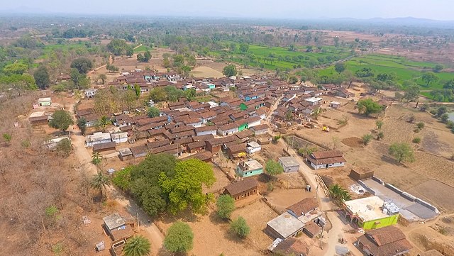
This is the drone view of pendren village.
Summary
edit
| Description |
ଓଡ଼ିଆ: ଏହା ପେଣ୍ଡରେନ ଗାଁ ର drone ଦୃଶ୍ୟ ଅଟେ |
| Date | |
| Source | Own work |
| Author | Choleswar |
| Camera location | | View this and other nearby images on: OpenStreetMap |
|---|
Licensing
edit
I, the copyright holder of this work, hereby publish it under the following license:
This file is licensed under the Creative Commons Attribution-Share Alike 4.0 International license.
- You are free:
- to share – to copy, distribute and transmit the work
- to remix – to adapt the work
- Under the following conditions:
- attribution – You must give appropriate credit, provide a link to the license, and indicate if changes were made. You may do so in any reasonable manner, but not in any way that suggests the licensor endorses you or your use.
- share alike – If you remix, transform, or build upon the material, you must distribute your contributions under the same or compatible license as the original.
File history
Click on a date/time to view the file as it appeared at that time.
| Date/Time | Thumbnail | Dimensions | User | Comment | |
|---|---|---|---|---|---|
| current | 19:03, 25 October 2022 | | 1,275 × 720 (732 KB) | Marbletan (talk | contribs) | Cropped 20 % horizontally using CropTool with lossless mode. Removed useless black margins left and right. |
| 04:49, 25 October 2022 |  | 1,600 × 720 (744 KB) | Choleswar (talk | contribs) | Uploaded own work with UploadWizard |
You cannot overwrite this file.
File usage on Commons
There are no pages that use this file.
File usage on other wikis
The following other wikis use this file: