File:Pertek topo1.png

Size of this preview: 800 × 568 pixels. Other resolutions: 320 × 227 pixels | 640 × 454 pixels | 1,053 × 747 pixels.
Original file (1,053 × 747 pixels, file size: 1.19 MB, MIME type: image/png)
Captions
Captions
Add a one-line explanation of what this file represents
Summary
edit
| Description |
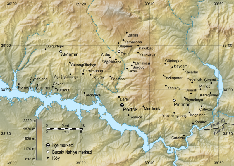
Türkçe: Pertek topografik haritası ve köyleri |
| Date | 15 Ocak 2010 |
| Source | Topographic data from the NASA Shuttle Radar Topography Mission (SRTM3 v.2) (public domain) edited with 3DEM and en:GRASS GIS ; UTM projection; WGS84 datum; shaded relief (composite image of N-W, W and N lightning positions), optimization with Inkscape and GIMP |
| Author | Alkd |
Licensing
edit
I, the copyright holder of this work, hereby publish it under the following licenses:
This file is licensed under the Creative Commons Attribution-Share Alike 3.0 Unported license.
- You are free:
- to share – to copy, distribute and transmit the work
- to remix – to adapt the work
- Under the following conditions:
- attribution – You must give appropriate credit, provide a link to the license, and indicate if changes were made. You may do so in any reasonable manner, but not in any way that suggests the licensor endorses you or your use.
- share alike – If you remix, transform, or build upon the material, you must distribute your contributions under the same or compatible license as the original.

|
Permission is granted to copy, distribute and/or modify this document under the terms of the GNU Free Documentation License, Version 1.2 or any later version published by the Free Software Foundation; with no Invariant Sections, no Front-Cover Texts, and no Back-Cover Texts. A copy of the license is included in the section entitled GNU Free Documentation License. |
You may select the license of your choice.
File history
Click on a date/time to view the file as it appeared at that time.
| Date/Time | Thumbnail | Dimensions | User | Comment | |
|---|---|---|---|---|---|
| current | 13:49, 15 January 2010 | | 1,053 × 747 (1.19 MB) | Alkd (talk | contribs) | s-->ş |
| 03:26, 15 January 2010 |  | 1,053 × 747 (1.19 MB) | Alkd (talk | contribs) | 150ppp | |
| 03:12, 15 January 2010 |  | 2,107 × 1,493 (2.83 MB) | Alkd (talk | contribs) | {{Information |Description={{tr|1=Pertek topografik haritası ve köyleri}} |Source=Topographic data from the [http://www2.jpl.nasa.gov/srtm NASA Shuttle Radar Topography Mission] (SRTM3 v.2) (public domain) edited with en:3DEM and en:GRASS GIS |
You cannot overwrite this file.
File usage on Commons
There are no pages that use this file.
File usage on other wikis
The following other wikis use this file:
- Usage on de.wikipedia.org
- Usage on tr.wikipedia.org