File:Peru - 2011 Region proposals (locator map, labeled ES).svg

Size of this PNG preview of this SVG file: 492 × 600 pixels. Other resolutions: 197 × 240 pixels | 394 × 480 pixels | 630 × 768 pixels | 840 × 1,024 pixels | 1,679 × 2,048 pixels | 820 × 1,000 pixels.
Original file (SVG file, nominally 820 × 1,000 pixels, file size: 1.17 MB)
Captions
Captions
Add a one-line explanation of what this file represents
Summary
edit.svg&action=edit§ion=1)
| Description |
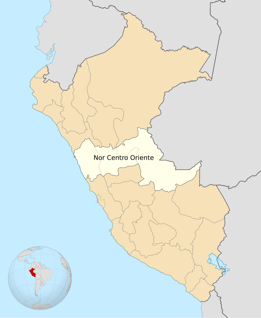
Español: Mapa con los proyectos de conformación de regiones del Perú a ser votadas en referendum a partir del 2011.
English: Map of the proyected regions voted to be comformed in Peru at referendum after 2011. |
| Date | |
| Source | Own work |
| Author | Huhsunqu |
Licensing
edit.svg&action=edit§ion=2)
I, the copyright holder of this work, hereby publish it under the following license:
This file is licensed under the Creative Commons Attribution-Share Alike 3.0 Unported license.
- You are free:
- to share – to copy, distribute and transmit the work
- to remix – to adapt the work
- Under the following conditions:
- attribution – You must give appropriate credit, provide a link to the license, and indicate if changes were made. You may do so in any reasonable manner, but not in any way that suggests the licensor endorses you or your use.
- share alike – If you remix, transform, or build upon the material, you must distribute your contributions under the same or compatible license as the original.
File history
Click on a date/time to view the file as it appeared at that time.
| Date/Time | Thumbnail | Dimensions | User | Comment | |
|---|---|---|---|---|---|
| current | 16:24, 27 June 2009 | | 820 × 1,000 (1.17 MB) | Huhsunqu (talk | contribs) | {{Information |Description={{es|1=Mapa con los proyectos de conformación de regiones del Perú a ser votadas en referendum a partir del 2011.}} {{en|1=Map of the proyected regions voted to be comformed in Peru at referendum after 2011.}} |Source=trabajo |
You cannot overwrite this file.
File usage on Commons
There are no pages that use this file.
File usage on other wikis
The following other wikis use this file:
- Usage on ast.wikipedia.org
- Usage on es.wikipedia.org
.svg&oldid=832536509)