File:Peter Stehlik 2014.03.30 051copyrhight.jpg
Size of this preview: 800 × 505 pixels. Other resolutions: 320 × 202 pixels | 640 × 404 pixels | 1,024 × 646 pixels | 1,280 × 808 pixels | 2,560 × 1,616 pixels | 5,760 × 3,635 pixels.
Original file (5,760 × 3,635 pixels, file size: 10.12 MB, MIME type: image/jpeg)
Captions
Captions
Add a one-line explanation of what this file represents
Summary edit
| Description |
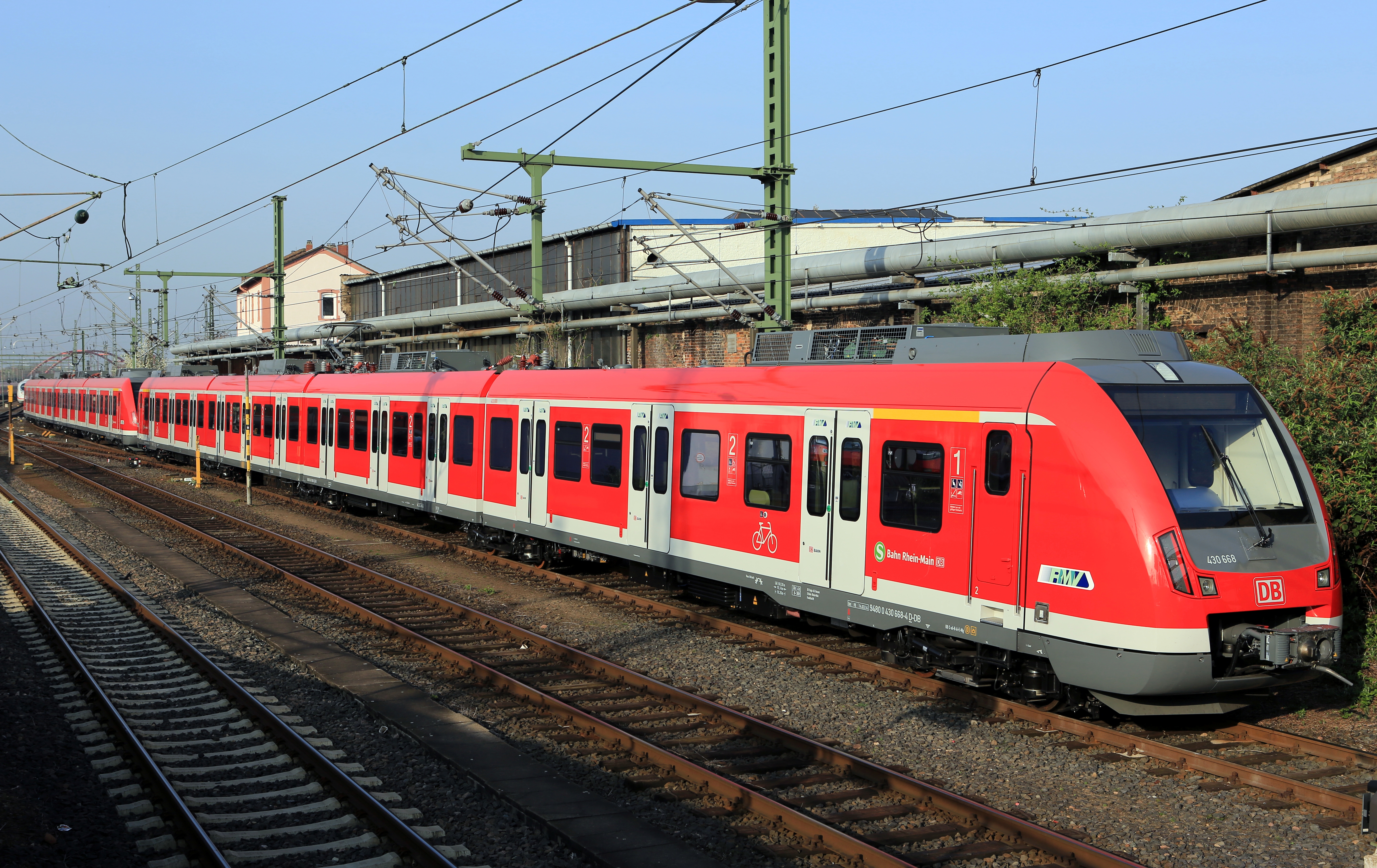
Deutsch: Bombardier-ET BR 430, für S-Bahn Rhein-Main |
| Date | |
| Source | Own work |
| Author | Peter Stehlik PS-2507 |
| Camera location | | View this and other nearby images on: OpenStreetMap |
|---|
Licensing edit
I, the copyright holder of this work, hereby publish it under the following license:
This file is licensed under the Creative Commons Attribution-Share Alike 3.0 Unported license.
- You are free:
- to share – to copy, distribute and transmit the work
- to remix – to adapt the work
- Under the following conditions:
- attribution – You must give appropriate credit, provide a link to the license, and indicate if changes were made. You may do so in any reasonable manner, but not in any way that suggests the licensor endorses you or your use.
- share alike – If you remix, transform, or build upon the material, you must distribute your contributions under the same or compatible license as the original.
|
File history
Click on a date/time to view the file as it appeared at that time.
| Date/Time | Thumbnail | Dimensions | User | Comment | |
|---|---|---|---|---|---|
| current | 14:53, 26 October 2014 | | 5,760 × 3,635 (10.12 MB) | Lomita (talk | contribs) | Suppression tag |
| 11:15, 30 March 2014 |  | 5,760 × 3,840 (11.38 MB) | PS-2507 (talk | contribs) | {{Information |Description ={{de|1=Bombardier-ET BR 430, für S-Bahn Rhein-Main}} |Source ={{own}} |Author =Peter Stehlik PS-2507 |Date =2014-03-30 |Permission = |other_versions = }} [[Category:DBAG Cl... |
You cannot overwrite this file.
File usage on Commons
The following page uses this file:
File usage on other wikis
The following other wikis use this file:
- Usage on cs.wikipedia.org
- Usage on de.wikipedia.org
- Usage on nn.wikipedia.org
- Usage on ru.wikipedia.org
- Usage on zh.wikipedia.org