File:Phước Bình, Bác Ái, Ninh Thuận, Vietnam - panoramio (1).jpg

Size of this preview: 800 × 600 pixels. Other resolutions: 320 × 240 pixels | 640 × 480 pixels | 1,024 × 768 pixels | 1,280 × 960 pixels | 2,560 × 1,920 pixels | 3,264 × 2,448 pixels.
Original file (3,264 × 2,448 pixels, file size: 1.45 MB, MIME type: image/jpeg)
Captions
Captions
Add a one-line explanation of what this file represents
Summary edit
.jpg&action=edit§ion=1)
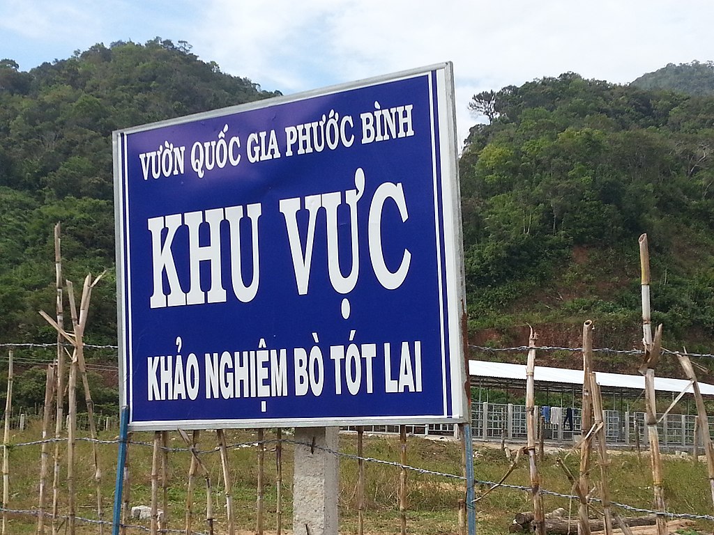
| Description | Phước Bình, Bác Ái, Ninh Thuận, Vietnam | ||
| Date | Taken on 25 December 2013 | ||
| Source | https://web.archive.org/web/20161030093124/http://www.panoramio.com/photo/104514149 | ||
| Author | Dinh Ngoc Binh | ||
| Permission (Reusing this file) |
This file is licensed under the Creative Commons Attribution-Share Alike 3.0 Unported license. Attribution: Dinh Ngoc Binh
|
||
| Tags (from Panoramio photo page) | Phước Bình |
| Camera location | | View this and other nearby images on: OpenStreetMap |
|---|
.jpg¶ms=012.002222_N_0108.815278_E_globe:Earth_type:camera_source:Panoramio_&language=en)
File history
Click on a date/time to view the file as it appeared at that time.
| Date/Time | Thumbnail | Dimensions | User | Comment | |
|---|---|---|---|---|---|
| current | 03:41, 24 March 2017 | | 3,264 × 2,448 (1.45 MB) | Panoramio upload bot (talk | contribs) | == {{int:filedesc}} == {{Information |description=Phước Bình, Bác Ái, Ninh Thuận, Vietnam |date={{Taken on|2013-12-25}} |source=http://www.panoramio.com/photo/104514149 |author=[http://www.panoramio.com/user/520644?with_photo_id=104514149 Dinh... |
You cannot overwrite this file.
File usage on Commons
The following page uses this file:
File usage on other wikis
The following other wikis use this file:
- Usage on ceb.wikipedia.org
- Usage on en.wikipedia.org
- Usage on ko.wikipedia.org
- Usage on www.wikidata.org
.jpg&oldid=753262482)