File:Photosphere at junction of routes 26 and 18, below Alpe Logone.jpg
Size of this preview: 800 × 400 pixels. Other resolutions: 320 × 160 pixels | 640 × 320 pixels | 1,024 × 512 pixels | 1,280 × 640 pixels | 2,560 × 1,280 pixels | 5,376 × 2,688 pixels.
Original file (5,376 × 2,688 pixels, file size: 6.24 MB, MIME type: image/jpeg)
Captions
Captions
Add a one-line explanation of what this file represents
Summary edit
| Description |
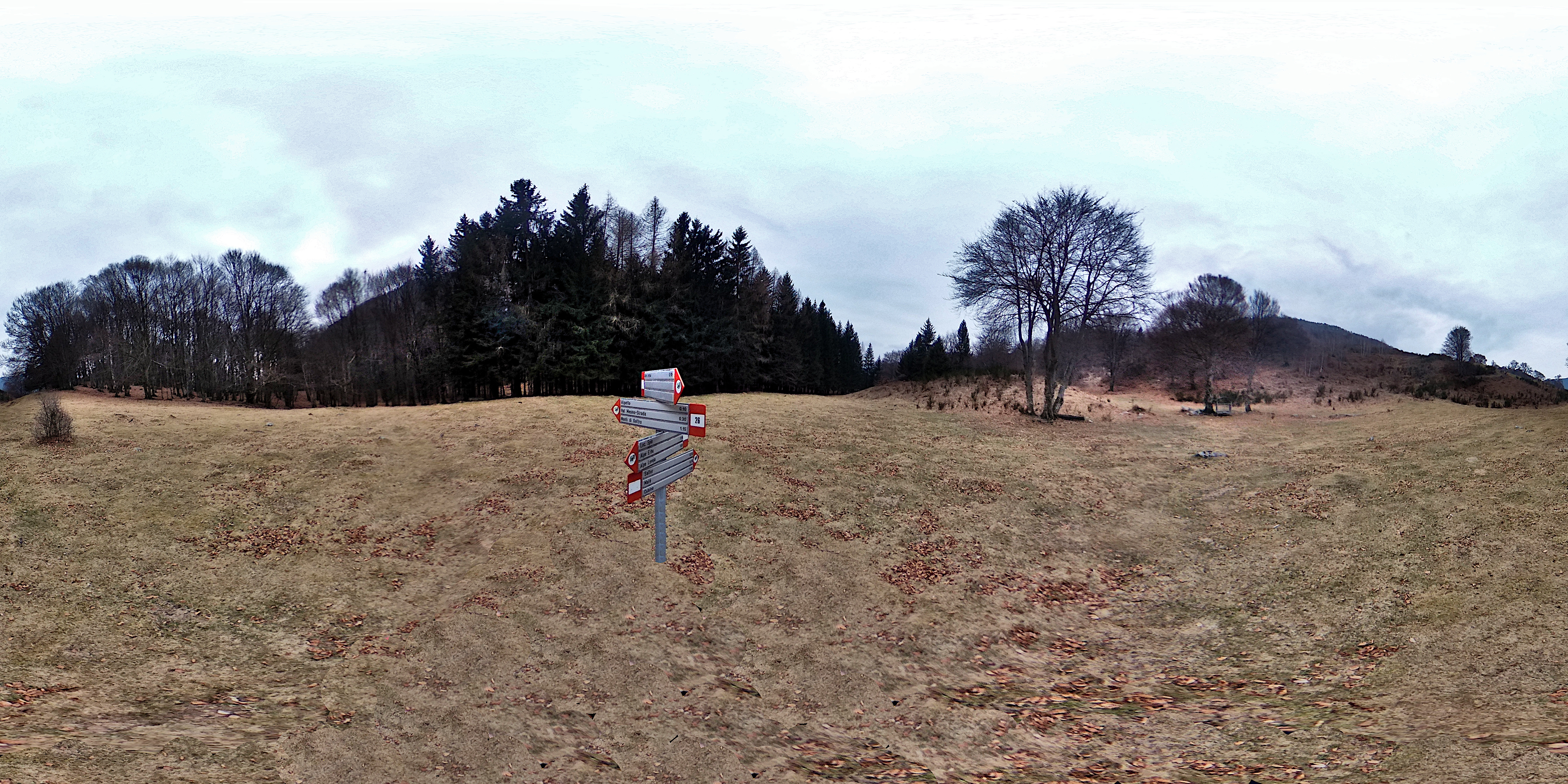
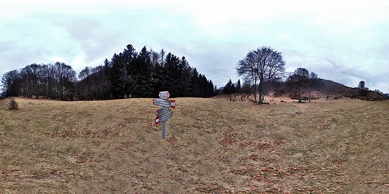
Italiano: Fotosfera sotto l'Alpe Logone, nella radura dove si riuniscono gli itinerari 18 Alpe Logone - Salter e 26 Strada asfaltata per Erba - Alpe Logone (sentiero che costeggia la Val Mesino). In tutte le direzioni i sentieri sono poco visibili per assenza di tracce di passaggio. |
| Date | |
| Source | Own work |
| Author | Kaitu |
| Camera location | | View this and other nearby images on: OpenStreetMap |
|---|
| 360° | View in 360° panoramic viewer
|
|---|
Licensing edit
I, the copyright holder of this work, hereby publish it under the following license:
This file is licensed under the Creative Commons Attribution-Share Alike 4.0 International license.
- You are free:
- to share – to copy, distribute and transmit the work
- to remix – to adapt the work
- Under the following conditions:
- attribution – You must give appropriate credit, provide a link to the license, and indicate if changes were made. You may do so in any reasonable manner, but not in any way that suggests the licensor endorses you or your use.
- share alike – If you remix, transform, or build upon the material, you must distribute your contributions under the same or compatible license as the original.
| Annotations | This image is annotated: View the annotations at Commons |


File history
Click on a date/time to view the file as it appeared at that time.
| Date/Time | Thumbnail | Dimensions | User | Comment | |
|---|---|---|---|---|---|
| current | 13:08, 19 June 2023 | | 5,376 × 2,688 (6.24 MB) | Kaitu (talk | contribs) | Uploaded own work with UploadWizard |
You cannot overwrite this file.
File usage on Commons
The following page uses this file: