File:Pietra di Bismantova - Villa Minozzo (RE) Italia - 24 Luglio 2011 - panoramio.jpg

Size of this preview: 449 × 599 pixels. Other resolutions: 180 × 240 pixels | 359 × 480 pixels | 575 × 768 pixels | 767 × 1,024 pixels | 1,534 × 2,048 pixels | 2,622 × 3,500 pixels.
Original file (2,622 × 3,500 pixels, file size: 4.36 MB, MIME type: image/jpeg)
Captions
Captions
Add a one-line explanation of what this file represents
Summary
edit_Italia_-_24_Luglio_2011_-_panoramio.jpg&action=edit§ion=1)
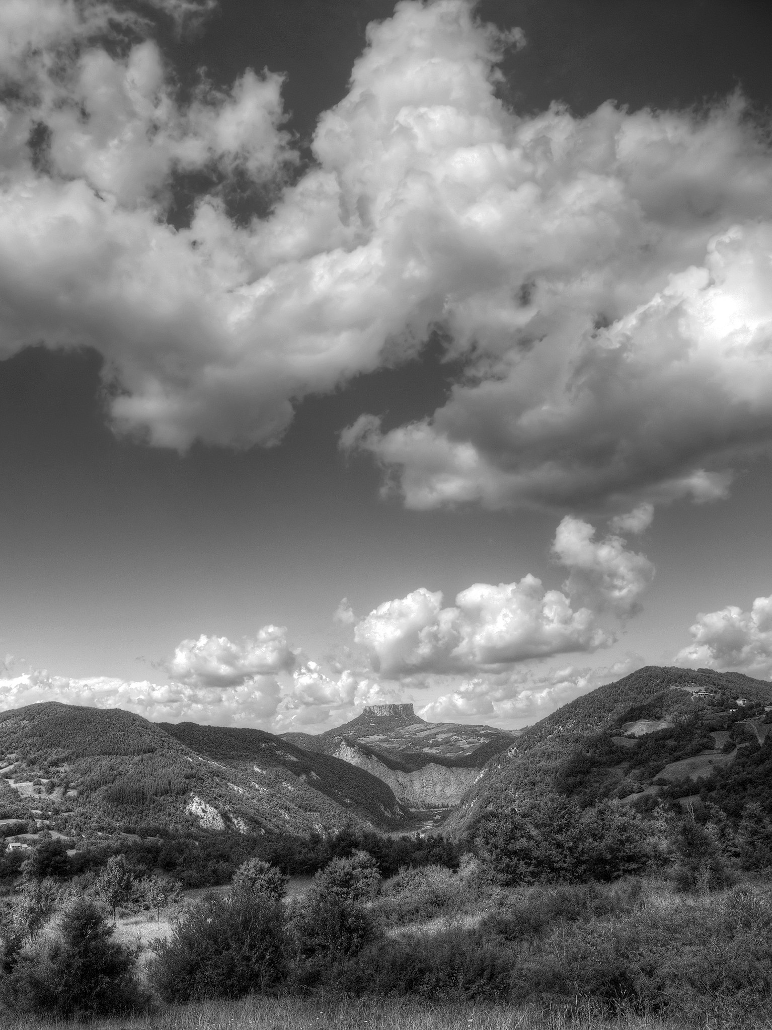
| Description | Pietra di Bismantova - Villa Minozzo (RE) Italia - 24 Luglio 2011 | ||
| Date | Taken on 24 July 2011 | ||
| Source | https://web.archive.org/web/20161026181941/http://www.panoramio.com/photo/71513796 | ||
| Author | Giorgio Galeotti | ||
| Permission (Reusing this file) |
This file is licensed under the Creative Commons Attribution 3.0 Unported license. Attribution: Giorgio Galeotti
|
||
| Tags (from Panoramio photo page) | Villa Minozzo |
| Camera location | | View this and other nearby images on: OpenStreetMap |
|---|
_Italia_-_24_Luglio_2011_-_panoramio.jpg¶ms=044.356374_N_0010.381996_E_globe:Earth_type:camera_source:Panoramio_&language=en)

|
The categories of this image need checking. You can do so here.
|
_Italia_-_24_Luglio_2011_-_panoramio.jpg&action=edit&withJS=MediaWiki:Catcheck.js)
File history
Click on a date/time to view the file as it appeared at that time.
| Date/Time | Thumbnail | Dimensions | User | Comment | |
|---|---|---|---|---|---|
| current | 02:43, 1 January 2017 | | 2,622 × 3,500 (4.36 MB) | Panoramio upload bot (talk | contribs) | == {{int:filedesc}} == {{Information |description=Pietra di Bismantova - Villa Minozzo (RE) Italia - 24 Luglio 2011 |date={{Taken on|2011-07-24}} |source=http://www.panoramio.com/photo/71513796 |author=[http://www.panoramio.com/user/4208745?with_photo_... |
You cannot overwrite this file.
File usage on Commons
There are no pages that use this file.
_Italia_-_24_Luglio_2011_-_panoramio.jpg&oldid=701277180)