File:Pilar 2017-09-26 1145Z.jpg
Size of this preview: 779 × 600 pixels. Other resolutions: 312 × 240 pixels | 623 × 480 pixels | 997 × 768 pixels | 1,280 × 986 pixels | 1,410 × 1,086 pixels.
Original file (1,410 × 1,086 pixels, file size: 204 KB, MIME type: image/jpeg)
Captions
Captions
Add a one-line explanation of what this file represents
Summary edit
| Description |
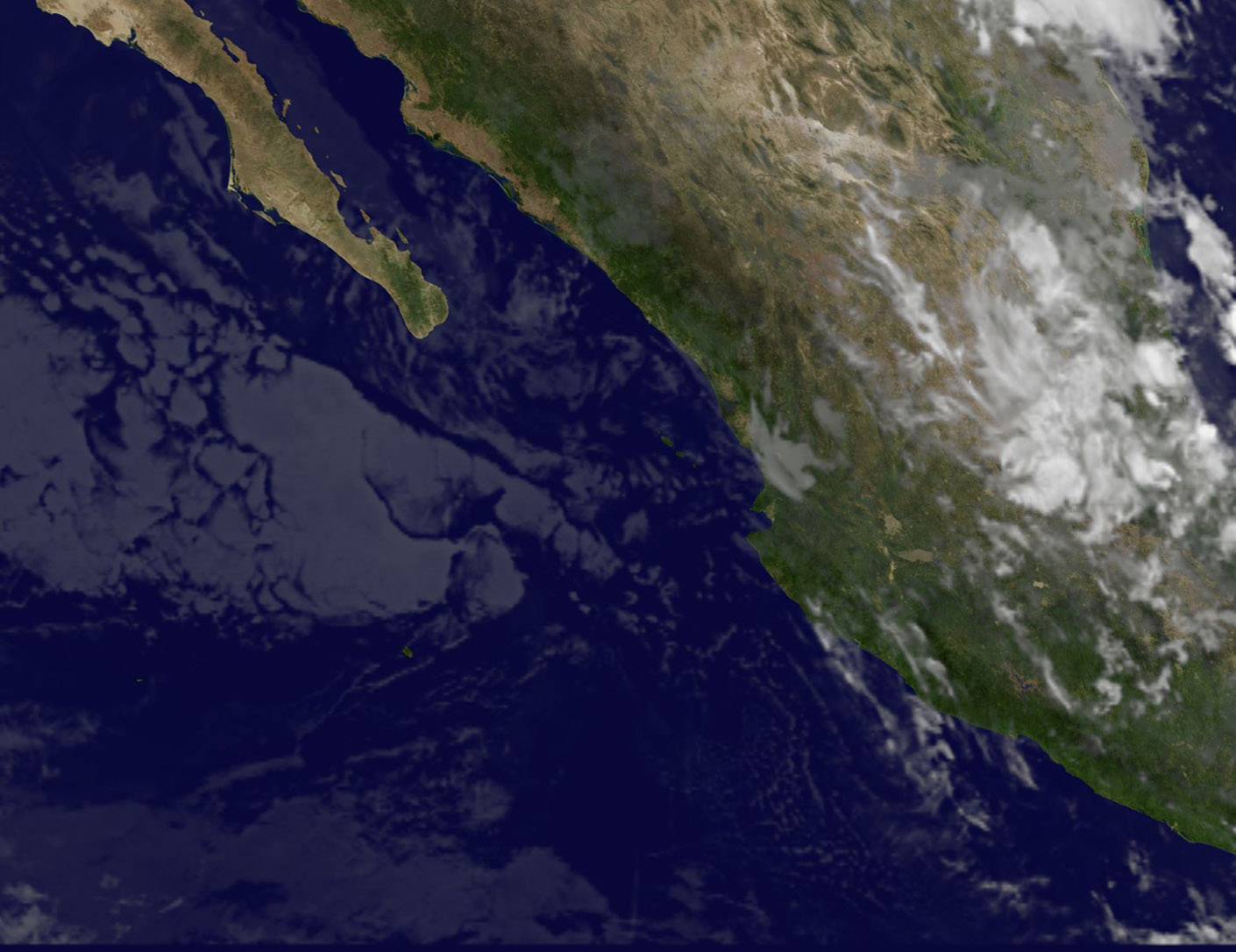
English: NOAA's GOES West satellite provided an infrared image of Mexico's west coast on Sept. 26 at 7:45 a.m. (1145 UTC). The image showed disorganized clouds south of Baja California. The infrared image makes the clouds appear transparent in the image. |
| Date | |
| Source | https://www.nasa.gov/feature/goddard/2017/pilar-eastern-pacific |
| Author | NOAA |
Licensing edit
This image is in the public domain because it contains materials that originally came from the U.S. National Oceanic and Atmospheric Administration, taken or made as part of an employee's official duties.
|
File history
Click on a date/time to view the file as it appeared at that time.
| Date/Time | Thumbnail | Dimensions | User | Comment | |
|---|---|---|---|---|---|
| current | 02:33, 3 February 2018 | | 1,410 × 1,086 (204 KB) | A1Cafel (talk | contribs) | original size |
| 13:05, 29 September 2017 |  | 985 × 759 (85 KB) | A1Cafel (talk | contribs) | User created page with UploadWizard |
You cannot overwrite this file.
File usage on Commons
The following page uses this file: