File:Pima County Incorporated and Unincorporated areas Tortolita highlighted.svg

Size of this PNG preview of this SVG file: 800 × 509 pixels. Other resolutions: 320 × 204 pixels | 640 × 407 pixels | 1,024 × 652 pixels | 1,280 × 815 pixels | 2,560 × 1,629 pixels | 1,100 × 700 pixels.
Original file (SVG file, nominally 1,100 × 700 pixels, file size: 60 KB)
Captions
Captions
Add a one-line explanation of what this file represents
Summary
edit
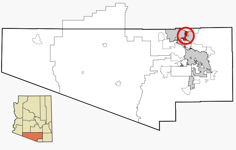
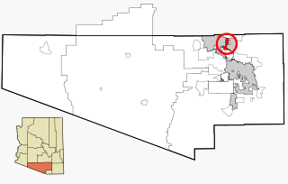
| Description | This map shows the incorporated areas and unincorporated areas in Pima County, Arizona. Incorporated cities are shown in gray and data for their borders and locations are based on the 2000/2030 PAG Transportation Analysis Zone Map. Tortolita is highlighted in red. Information for unincorporated locations and borders are based on the Census 2000 Pima County Tract Outline Index Map (PDF). I created this map in w:Inkscape. |
| Date | |
| Source | My own work, based on public domain information |
| Author | Ixnayonthetimmay |
| Permission (Reusing this file) |
Copyleft-type licensing. See below. |
| Other versions | See Category:Maps of Pima County for other versions of this image. |
Licensing
edit
| I, the copyright holder of this work, release this work into the public domain. This applies worldwide. In some countries this may not be legally possible; if so: I grant anyone the right to use this work for any purpose, without any conditions, unless such conditions are required by law. |
File history
Click on a date/time to view the file as it appeared at that time.
| Date/Time | Thumbnail | Dimensions | User | Comment | |
|---|---|---|---|---|---|
| current | 12:35, 23 February 2007 | | 1,100 × 700 (60 KB) | Ixnayonthetimmay (talk | contribs) | {{Information |Description=This map shows the incorporated areas and unincorporated areas in Pima County, Arizona. Incorporated cities are shown in gray and data for |
You cannot overwrite this file.
File usage on Commons
The following page uses this file:
File usage on other wikis
The following other wikis use this file:
- Usage on azb.wikipedia.org
- Usage on ca.wikipedia.org
- Usage on de.wikipedia.org
- Usage on en.wikipedia.org
- Usage on eu.wikipedia.org
- Usage on fa.wikipedia.org
- Usage on tt.wikipedia.org
- Usage on uk.wikipedia.org
- Usage on www.wikidata.org
- Usage on zh.wikipedia.org