File:Pir ki gali - Pir Panjal - Jammu.jpg

Size of this preview: 800 × 534 pixels. Other resolutions: 320 × 214 pixels | 640 × 427 pixels | 1,024 × 683 pixels | 1,280 × 854 pixels | 2,560 × 1,709 pixels | 7,360 × 4,912 pixels.
Original file (7,360 × 4,912 pixels, file size: 8.35 MB, MIME type: image/jpeg)
Captions
Captions
Add a one-line explanation of what this file represents
Summary edit
| Description |
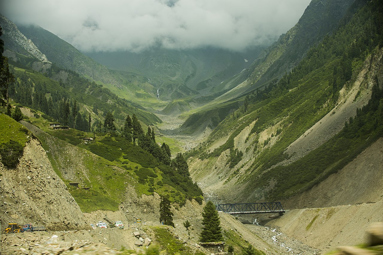
English: Pir ki gali - Pir Panjal - Jammu |
| Date | |
| Source | Own work |
| Author | Ssk 004 |
The Pir Panjal Range is a group of mountains in the Inner Himalayan region, running from east-southeast (ESE) to west-northwest (WNW) across the Indian states of Himachal Pradesh and Jammu and Kashmir and Pakistani territory of Azad Jammu & Kashmir where the average elevation varies from 1,400 m (4,600 ft) to 4,100 m (13,500 ft)
Licensing edit
I, the copyright holder of this work, hereby publish it under the following license:
This file is licensed under the Creative Commons Attribution-Share Alike 4.0 International license.
- You are free:
- to share – to copy, distribute and transmit the work
- to remix – to adapt the work
- Under the following conditions:
- attribution – You must give appropriate credit, provide a link to the license, and indicate if changes were made. You may do so in any reasonable manner, but not in any way that suggests the licensor endorses you or your use.
- share alike – If you remix, transform, or build upon the material, you must distribute your contributions under the same or compatible license as the original.
This image was uploaded as part of Wiki Loves Earth 2017.
|
 |
File history
Click on a date/time to view the file as it appeared at that time.
| Date/Time | Thumbnail | Dimensions | User | Comment | |
|---|---|---|---|---|---|
| current | 16:18, 30 June 2017 | | 7,360 × 4,912 (8.35 MB) | Ssk 004 (talk | contribs) | User created page with UploadWizard |
You cannot overwrite this file.
File usage on Commons
The following page uses this file: