File:Piszczac (gmina) location map.png
Original file (1,432 × 1,009 pixels, file size: 291 KB, MIME type: image/png)
Captions
Captions
Summary
edit_location_map.png&action=edit§ion=1)
| Description |
English: Location map |
| Date | |
| Source | Own work |
| Author | Smat |
| Description |
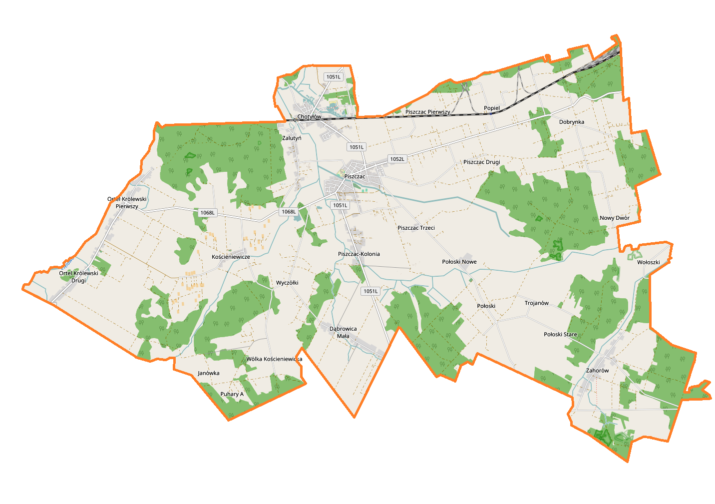
Polski: Mapa gminy Piszczac, Polska
English: Map of Piszczac (gmina), Poland |
|||||||||
| Date | ||||||||||
| Source | You may find a page on the OpenStreetMap wiki page for Piszczac (gmina) | |||||||||
| Creator |
OpenStreetMap contributors OpenStreetMap contributors |
|||||||||
| Permission (Reusing this file) |
OpenStreetMap data is available under the Open Database License (details). Map tiles are licensed under the Creative Commons Attribution-ShareAlike 2.0 license (CC-BY-SA 2.0).
This file is licensed under the Creative Commons Attribution-Share Alike 2.0 Generic license.
|
|||||||||
| Geotemporal data | ||||||||||
| Bounding box |
|
|||||||||
| Georeferencing | If inappropriate please set warp_status = skip to hide. | |||||||||
Licensing
edit_location_map.png&action=edit§ion=2)
| This work contains information from OpenStreetMap, which is made available under the Open Database License (ODbL).
The ODbL does not require any particular license for maps produced from ODbL data. Prior to 1 August 2020, map tiles produced by the OpenStreetMap Foundation were licensed under the CC-BY-SA-2.0 license. Maps produced by other people may be subject to other licences. |
File history
Click on a date/time to view the file as it appeared at that time.
| Date/Time | Thumbnail | Dimensions | User | Comment | |
|---|---|---|---|---|---|
| current | 16:32, 23 August 2017 | | 1,432 × 1,009 (291 KB) | Smat (talk | contribs) | User created page with UploadWizard |
You cannot overwrite this file.
File usage on Commons
There are no pages that use this file.
File usage on other wikis
The following other wikis use this file:
- Usage on pl.wikipedia.org
- Chotyłów
- Piszczac (gmina)
- Dobrynka
- Dąbrowica Mała
- Kościeniewicze (Polska)
- Ortel Królewski Pierwszy
- Piszczac
- Połoski
- Wólka Kościeniewicka
- Zahorów
- Zalutyń
- Trojanów (województwo lubelskie)
- Wyczółki (województwo lubelskie)
- Nowy Dwór (powiat bialski)
- Janówka (gmina Piszczac)
- Chotyłów (stacja kolejowa)
- Piszczac-Kolonia
- Piszczac Pierwszy
- Piszczac Trzeci
- Ortel Królewski Drugi
- Popiel (województwo lubelskie)
- Połoski Stare
- Połoski Nowe
- Dobrynka (przystanek kolejowy)
- Parafia Świętych Apostołów Piotra i Pawła w Zahorowie
- Parafia Podwyższenia Krzyża Świętego w Piszczacu
- Cerkiew Świętych Apostołów Piotra i Pawła w Zahorowie
- Borowe (Piszczac Pierwszy)
- Chmielne
- Czworaki (powiat bialski)
- Hulcze (Piszczac Trzeci)
- Ogrodniki (gmina Piszczac)
- Parcela (województwo lubelskie)
- Piszczac Drugi
- Pod Torem
- Podpołoski
- Puhary A
- Wołoszki
- Za Torem (Piszczac Pierwszy)
- Kościół Trójcy Świętej w Połoskach
- Ratarków
- Parafia Najświętszej Maryi Panny Królowej Polski w Kościeniewiczach
- Kościół Podwyższenia Krzyża Świętego w Piszczacu
- Kościół Najświętszej Maryi Panny Królowej Polski w Kościeniewiczach
- Cmentarz w Połoskach
- Cmentarz katolicki w Piszczacu
- Cmentarz w Ortelu Królewskim Pierwszym
- Parafia Matki Bożej Różańcowej w Ortelu Królewskim
- Kościół Matki Boskiej Różańcowej w Ortelu Królewskim
- Cmentarz prawosławny w Dąbrowicy Małej
View more global usage of this file.
_location_map.png)
_location_map.png&oldid=708058063)