File:Plan de Maestricht et environs 1748, detail Severen & Kanjel (cropped).jpg

Size of this preview: 800 × 557 pixels. Other resolutions: 320 × 223 pixels | 640 × 446 pixels | 1,024 × 714 pixels | 1,280 × 892 pixels | 2,236 × 1,558 pixels.
Original file (2,236 × 1,558 pixels, file size: 960 KB, MIME type: image/jpeg)
Captions
Captions
Add a one-line explanation of what this file represents
Summary edit
| Description |
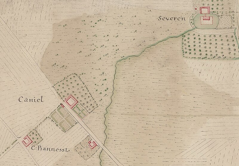
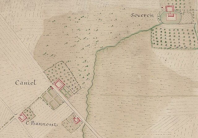
Nederlands: Detail van een Franse kaart van Maastricht en omgeving tijdens het beleg van 1748. De uitsnede toont de Kanjelbeek, het dorp Limmel ("Leumel") en de landgoederen ten oosten daarvan. |
| Date | circa 1748 |
| Source | https://gallica.bnf.fr/ark:/12148/btv1b530997535/f1.item.r=Maestricht.zoom# |
| Author | unknown cartographer |
| Other versions |


.jpg&action=edit§ion=1)
Licensing edit
.jpg&action=edit§ion=2)
|
This work is in the public domain in its country of origin and other countries and areas where the copyright term is the author's life plus 70 years or fewer. This work is in the public domain in the United States because it was published (or registered with the U.S. Copyright Office) before January 1, 1929. | |
| This file has been identified as being free of known restrictions under copyright law, including all related and neighboring rights. | |
File history
Click on a date/time to view the file as it appeared at that time.
| Date/Time | Thumbnail | Dimensions | User | Comment | |
|---|---|---|---|---|---|
| current | 17:32, 15 October 2023 | | 2,236 × 1,558 (960 KB) | Kleon3 (talk | contribs) | File:Plan de Maestricht et environs 1748, detail Limmel & Kanjel.jpg cropped 45 % horizontally, 55 % vertically using CropTool with precise mode. |
You cannot overwrite this file.
File usage on Commons
The following page uses this file:
.jpg&oldid=816162540)