File:Plan de l'embarcadère projeté de la gare de Dieppe - lith. Em. Delavoye - btv1b53087716v.jpg

Size of this preview: 800 × 547 pixels. Other resolutions: 320 × 219 pixels | 640 × 438 pixels | 1,024 × 700 pixels | 1,280 × 875 pixels | 2,560 × 1,751 pixels | 5,088 × 3,480 pixels.
Original file (5,088 × 3,480 pixels, file size: 1.97 MB, MIME type: image/jpeg)
Captions
Captions
Add a one-line explanation of what this file represents
Summary
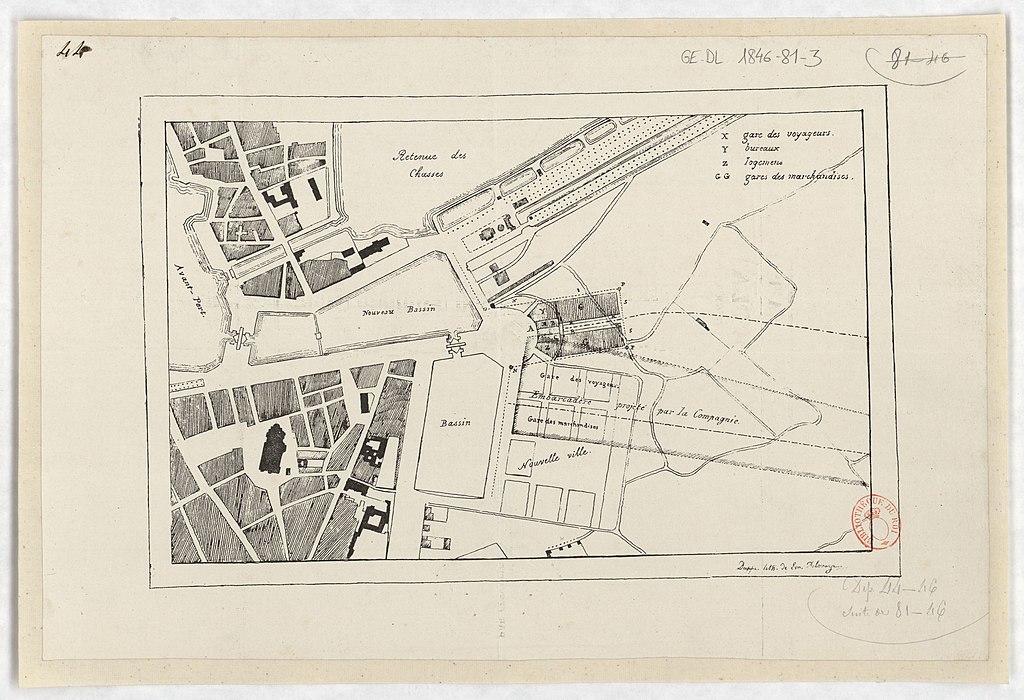
edit| Plan de l'embarcadère projeté de la gare de Dieppe / lith. Em. Delavoye
( |
|||||||||||||||||||||||||||
|---|---|---|---|---|---|---|---|---|---|---|---|---|---|---|---|---|---|---|---|---|---|---|---|---|---|---|---|
| Author |
Delavoye, Em.. Graveur |
||||||||||||||||||||||||||
| Title |
Plan de l'embarcadère projeté de la gare de Dieppe / lith. Em. Delavoye |
||||||||||||||||||||||||||
| Description |
Français : Sujet : Gares
Dieppe -- Gares Échelle(s) : [Échelle non déterminable] Appartient à l’ensemble documentaire : HNormand1 Couverture : France – Normandie – Seine-Maritime E 1°4'42" / N 49°55'12" Langue : français Éditeur : [s.n.] (Dieppe) |
||||||||||||||||||||||||||
| Date | 1846 | ||||||||||||||||||||||||||
| Dimensions | height: 31 cm (12.2 in); width: 21 cm (8.2 in) | ||||||||||||||||||||||||||
| Collection |
|
||||||||||||||||||||||||||
| References |
Français : Notice du catalogue : http://catalogue.bnf.fr/ark:/12148/cb436454122 |
||||||||||||||||||||||||||
| Source/Photographer |
Français : Bibliothèque nationale de France, département Cartes et plans, GE DL 1846-81-3
Bibliothèque nationale de France |
||||||||||||||||||||||||||
| Permission (Reusing this file) |
|
||||||||||||||||||||||||||

File history
Click on a date/time to view the file as it appeared at that time.
| Date/Time | Thumbnail | Dimensions | User | Comment | |
|---|---|---|---|---|---|
| current | 01:10, 13 August 2022 | | 5,088 × 3,480 (1.97 MB) | Gzen92Bot (talk | contribs) | Gallica btv1b53087716v |
You cannot overwrite this file.
File usage on Commons
The following page uses this file: