File:Plan of the Neighbourhood of Megara.jpg
Original file (1,224 × 774 pixels, file size: 345 KB, MIME type: image/jpeg)
Captions
Captions
Summary
edit
| Description |
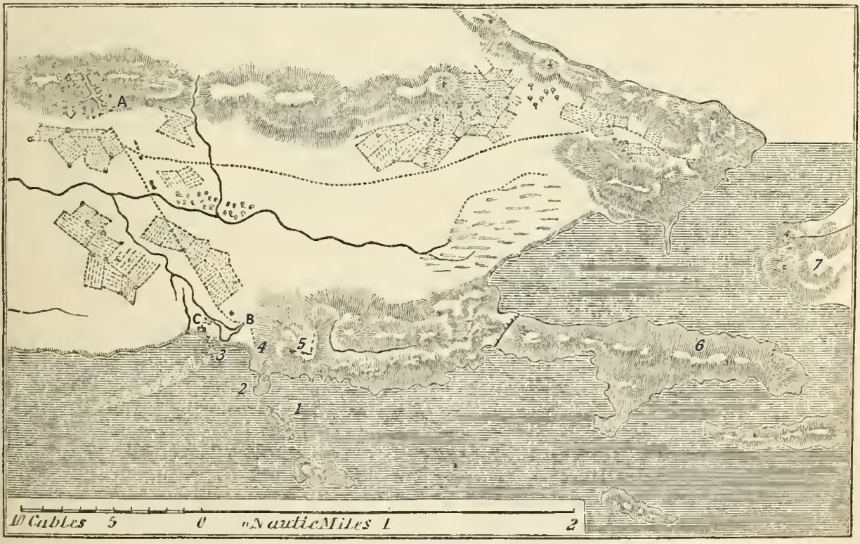
Deutsch: Plan der Umgebung von Megara:
A = Megara English: Plan of the Neighbourhood of Megara: A = Megara |
| Date | |
| Source | https://commons.wikimedia.org/w/index.php?title=File:Dictionary_of_Greek_and_Roman_geography_(IA_dictionaryofgree02smit).pdf&page=331 |
| Author | Smith, William, Sir, 1813-1893 |
Licensing
edit
|
This work is in the public domain in its country of origin and other countries and areas where the copyright term is the author's life plus 70 years or fewer. This work is in the public domain in the United States because it was published (or registered with the U.S. Copyright Office) before January 1, 1929. | |
| This file has been identified as being free of known restrictions under copyright law, including all related and neighboring rights. | |
File history
Click on a date/time to view the file as it appeared at that time.
| Date/Time | Thumbnail | Dimensions | User | Comment | |
|---|---|---|---|---|---|
| current | 13:16, 13 November 2022 | | 1,224 × 774 (345 KB) | Schuppi (talk | contribs) | Uploaded a work by Smith, William, Sir, 1813-1893 from https://commons.wikimedia.org/w/index.php?title=File:Dictionary_of_Greek_and_Roman_geography_(IA_dictionaryofgree02smit).pdf&page=331 with UploadWizard |
You cannot overwrite this file.
File usage on Commons
There are no pages that use this file.
File usage on other wikis
The following other wikis use this file:
- Usage on de.wikipedia.org