File:Plan of the Town of William Henry.png
Size of this preview: 537 × 599 pixels. Other resolutions: 215 × 240 pixels | 430 × 480 pixels | 688 × 768 pixels | 1,154 × 1,288 pixels.
Original file (1,154 × 1,288 pixels, file size: 1.17 MB, MIME type: image/png)
Captions
Captions
Add a one-line explanation of what this file represents
Summary
edit
| Description |
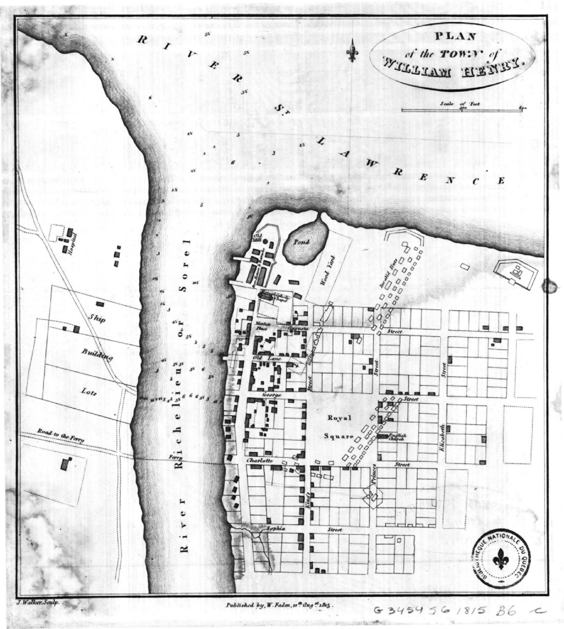
English: Plan of the Town of William Henry
Français : Carte extraite de: Description topographique de la province du Bas-Canada |
| Date | |
| Source | http://services.banq.qc.ca/sdx/cep/document.xsp?id=0002662967 |
| Author | Joseph Bouchette |
Licensing
edit
|
This work is in the public domain in its country of origin and other countries and areas where the copyright term is the author's life plus 100 years or fewer. | |
| This file has been identified as being free of known restrictions under copyright law, including all related and neighboring rights. | |
File history
Click on a date/time to view the file as it appeared at that time.
| Date/Time | Thumbnail | Dimensions | User | Comment | |
|---|---|---|---|---|---|
| current | 00:28, 28 February 2013 | | 1,154 × 1,288 (1.17 MB) | Jeangagnon (talk | contribs) | {{Information |Description ={{en|1=''Plan of the Town of William Henry''}} {{fr|1=Carte extraite de: Description topographique de la province du Bas-Canada }} |Source =http://services.banq.qc.ca/sdx/cep/document.xsp?id=0002662967 |Author ... |
You cannot overwrite this file.
File usage on Commons
There are no pages that use this file.
File usage on other wikis
The following other wikis use this file:
- Usage on fr.wikipedia.org