File:Plattegrond van Rotterdam in 1933.jpg

Size of this preview: 800 × 567 pixels. Other resolutions: 320 × 227 pixels | 640 × 453 pixels | 1,024 × 725 pixels | 1,280 × 906 pixels | 2,560 × 1,813 pixels | 6,318 × 4,474 pixels.
Original file (6,318 × 4,474 pixels, file size: 9.7 MB, MIME type: image/jpeg)
Captions
Captions
Add a one-line explanation of what this file represents
Summary
edit
| Description |
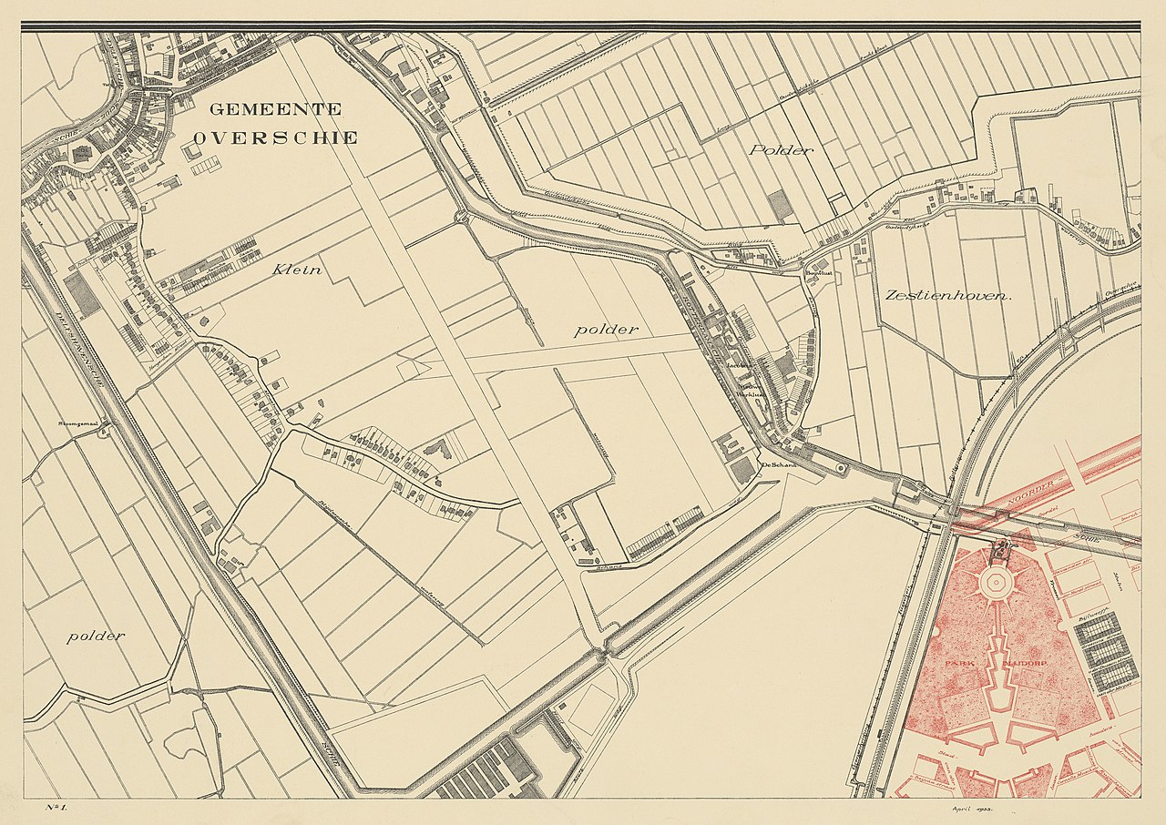
English: Map of the municipality of Rotterdam on scale 1 to 5000. Sheet 1: Overschie. Year: 1933.
Nederlands: Plattegrond der gemeente Rotterdam op schaal 1 à 5000. Blad 1: Overschie. Jaar: 1933. |
| Date | |
| Source | Stadsarchief Rotterdam |
| Author | Unknown author |
Licensing
edit
| This file is made available under the Creative Commons CC0 1.0 Universal Public Domain Dedication. | |
| The person who associated a work with this deed has dedicated the work to the public domain by waiving all of their rights to the work worldwide under copyright law, including all related and neighboring rights, to the extent allowed by law. You can copy, modify, distribute and perform the work, even for commercial purposes, all without asking permission.
|
File history
Click on a date/time to view the file as it appeared at that time.
| Date/Time | Thumbnail | Dimensions | User | Comment | |
|---|---|---|---|---|---|
| current | 09:16, 30 December 2021 | | 6,318 × 4,474 (9.7 MB) | OnwardToThePast (talk | contribs) | Uploaded a work by Onbekend from [https://hdl.handle.net/21.12133/24FE867AF6B04680B7D6E2FB1382C890 Stadsarchief Rotterdam] with UploadWizard |
You cannot overwrite this file.
File usage on Commons
There are no pages that use this file.