File:Plattsburgh city border map.gif
No higher resolution available.
Plattsburgh_city_border_map.gif (575 × 425 pixels, file size: 32 KB, MIME type: image/gif)
Captions
Captions
Add a one-line explanation of what this file represents
Summary edit
| Description |
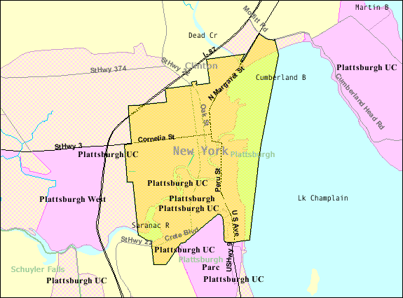
English: Map of Plattsburgh from U.S. Census website. |
| Source | |
| Author |
Licensing edit
This image or file is a work of a United States Census Bureau employee, taken or made as part of that person's official duties. As a work of the U.S. federal government, the image is in the public domain.
|
 |
Original upload log edit
The original description page was here. All following user names refer to en.wikipedia.
- 2007-11-26 19:24 Fife Club 575×425× (32778 bytes) Map of [[Plattsburgh (city), New York]] from U.S. Census website.
File history
Click on a date/time to view the file as it appeared at that time.
| Date/Time | Thumbnail | Dimensions | User | Comment | |
|---|---|---|---|---|---|
| current | 02:19, 23 August 2013 | | 575 × 425 (32 KB) | Dcirovic (talk | contribs) | {{Information |Description={{en|Map of en:Plattsburgh (city), New York from U.S. Census website.}} |Source=Transferred from [http://en.wikipedia.org en.wikipedia] |Date={{Original upload date|2007-11-26}} |Author=Original uploader was {{user at p... |
You cannot overwrite this file.
File usage on Commons
The following 3 pages use this file:
File usage on other wikis
The following other wikis use this file:
- Usage on ar.wikipedia.org
- Usage on arz.wikipedia.org
- Usage on azb.wikipedia.org
- Usage on ca.wikipedia.org
- Usage on ceb.wikipedia.org
- Usage on cy.wikipedia.org
- Usage on el.wikipedia.org
- Usage on en.wikipedia.org
- Usage on eo.wikipedia.org
- Usage on eu.wikipedia.org
- Usage on fr.wikipedia.org
- Usage on ht.wikipedia.org
- Usage on hu.wikipedia.org
- Usage on ja.wikipedia.org
- Usage on sr.wikipedia.org
- Usage on sv.wikipedia.org
- Usage on tt.wikipedia.org
- Usage on vo.wikipedia.org
- Usage on www.wikidata.org
- Usage on zh-min-nan.wikipedia.org