File:Pointe-Saint-Mathieu.png
No higher resolution available.
Pointe-Saint-Mathieu.png (670 × 548 pixels, file size: 697 KB, MIME type: image/png)
Captions
Captions
Add a one-line explanation of what this file represents
Summary
edit
| Description |
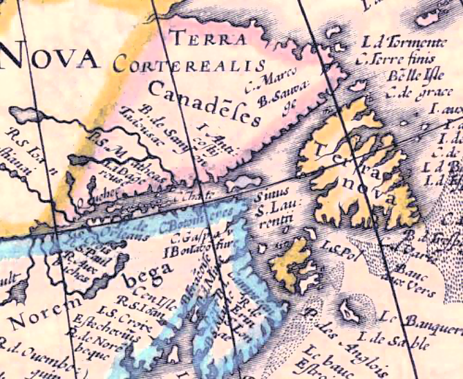
Français : La pointe Saint-Mathieu, apparaissant sutr une carte tirée de G. Mercator et J. Hondii Atlas, 1631. |
| Date | |
| Source | http://www.uqar.ca/files/urq/2011/b3_am-camilcgirard.pdf |
| Author | Hondius, Henricus, America noviter delineate, Amsterdam, 1636, tirée de G. Mercator et J. Hondii Atlas, 1631. |
| Camera location | | View this and other nearby images on: OpenStreetMap |
|---|
Hondius, Henricus, America noviter delineate, Amsterdam, 1636, tirée de G. Mercator et J. Hondii Atlas, 1631. Alabama University Historical Maps en ligne.
Licensing
edit
|
This work is in the public domain in its country of origin and other countries and areas where the copyright term is the author's life plus 100 years or fewer. This work is in the public domain in the United States because it was published (or registered with the U.S. Copyright Office) before January 1, 1929. | |
| This file has been identified as being free of known restrictions under copyright law, including all related and neighboring rights. | |
File history
Click on a date/time to view the file as it appeared at that time.
| Date/Time | Thumbnail | Dimensions | User | Comment | |
|---|---|---|---|---|---|
| current | 22:18, 31 December 2014 | | 670 × 548 (697 KB) | Pierre5018 (talk | contribs) | éliminer bruit; rehausser contraste spatial et couleurs |
| 22:16, 31 December 2014 |  | 670 × 548 (776 KB) | Pierre5018 (talk | contribs) | User created page with UploadWizard |
You cannot overwrite this file.
File usage on Commons
There are no pages that use this file.
File usage on other wikis
The following other wikis use this file:
- Usage on fr.wikipedia.org