File:Poole , Holes Bay and Pavement - geograph.org.uk - 1770991.jpg

Size of this preview: 800 × 241 pixels. Other resolutions: 320 × 97 pixels | 640 × 193 pixels | 1,024 × 309 pixels | 1,280 × 386 pixels | 2,560 × 772 pixels | 6,907 × 2,083 pixels.
Original file (6,907 × 2,083 pixels, file size: 2.78 MB, MIME type: image/jpeg)
Captions
Captions
Add a one-line explanation of what this file represents
Summary edit
| Description |
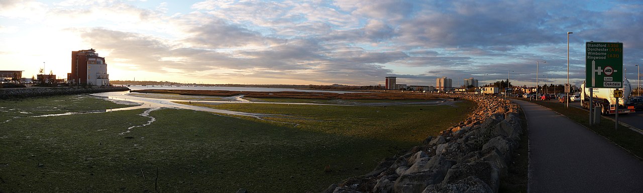
English: Poole : Holes Bay & Pavement A pavement which runs around Holes Bay beside the A350 road. The tide seems to be out here. |
| Date | Taken on 8 March 2010 |
| Source | From geograph.org.uk |
| Author | Lewis Clarke |
| Attribution (required by the license) | Lewis Clarke / Poole : Holes Bay & Pavement / |
| Camera location | | View this and other nearby images on: OpenStreetMap |
|---|
_heading:315.00&language=en)
| Object location | | View this and other nearby images on: OpenStreetMap |
|---|
_heading:315.00&language=en)
Licensing edit

|
This image was taken from the Geograph project collection. See this photograph's page on the Geograph website for the photographer's contact details. The copyright on this image is owned by Lewis Clarke and is licensed for reuse under the Creative Commons Attribution-ShareAlike 2.0 license.
|
This file is licensed under the Creative Commons Attribution-Share Alike 2.0 Generic license.
Attribution: Lewis Clarke
- You are free:
- to share – to copy, distribute and transmit the work
- to remix – to adapt the work
- Under the following conditions:
- attribution – You must give appropriate credit, provide a link to the license, and indicate if changes were made. You may do so in any reasonable manner, but not in any way that suggests the licensor endorses you or your use.
- share alike – If you remix, transform, or build upon the material, you must distribute your contributions under the same or compatible license as the original.
File history
Click on a date/time to view the file as it appeared at that time.
| Date/Time | Thumbnail | Dimensions | User | Comment | |
|---|---|---|---|---|---|
| current | 11:57, 14 March 2011 | 6,907 × 2,083 (2.78 MB) | GeographBot (talk | contribs) | == {{int:filedesc}} == {{Information |description={{en|1=Poole : Holes Bay & Pavement A pavement which runs around Holes Bay beside the A350 road. The tide seems to be out here.}} |date=2010-03-08 |source=From [http://www.geograph.org.uk/photo/1770991 geo |
You cannot overwrite this file.
File usage on Commons
There are no pages that use this file.