File:Portugal municipalities districts2.png
Size of this preview: 472 × 600 pixels. Other resolutions: 189 × 240 pixels | 378 × 480 pixels | 604 × 768 pixels | 1,162 × 1,477 pixels.
Original file (1,162 × 1,477 pixels, file size: 113 KB, MIME type: image/png)
Captions
Captions
Add a one-line explanation of what this file represents
Summary
edit
| Description |
|
| Date | (UTC) |
| Source |
This file was derived from: Portuguese municipalities districts2.PNG:  |
| Author |
|
| This is a retouched picture, which means that it has been digitally altered from its original version. Modifications: Alteração das cores. The original can be viewed here: Portuguese municipalities districts2.PNG:
|
Licensing
edit
I, the copyright holder of this work, hereby publish it under the following licenses:
| This file is licensed under the Creative Commons Attribution-Share Alike 3.0 Unported license. | ||
| ||
| This licensing tag was added to this file as part of the GFDL licensing update. |

|
Permission is granted to copy, distribute and/or modify this document under the terms of the GNU Free Documentation License, Version 1.2 or any later version published by the Free Software Foundation; with no Invariant Sections, no Front-Cover Texts, and no Back-Cover Texts. A copy of the license is included in the section entitled GNU Free Documentation License. |
You may select the license of your choice.
Original upload log
edit
This image is a derivative work of the following images:
- File:Portuguese_municipalities_districts2.PNG licensed with Cc-by-sa-3.0-migrated, GFDL
- 2010-04-17T21:47:55Z Bracaro 1162x1477 (77781 Bytes) Better colors for the Azores.
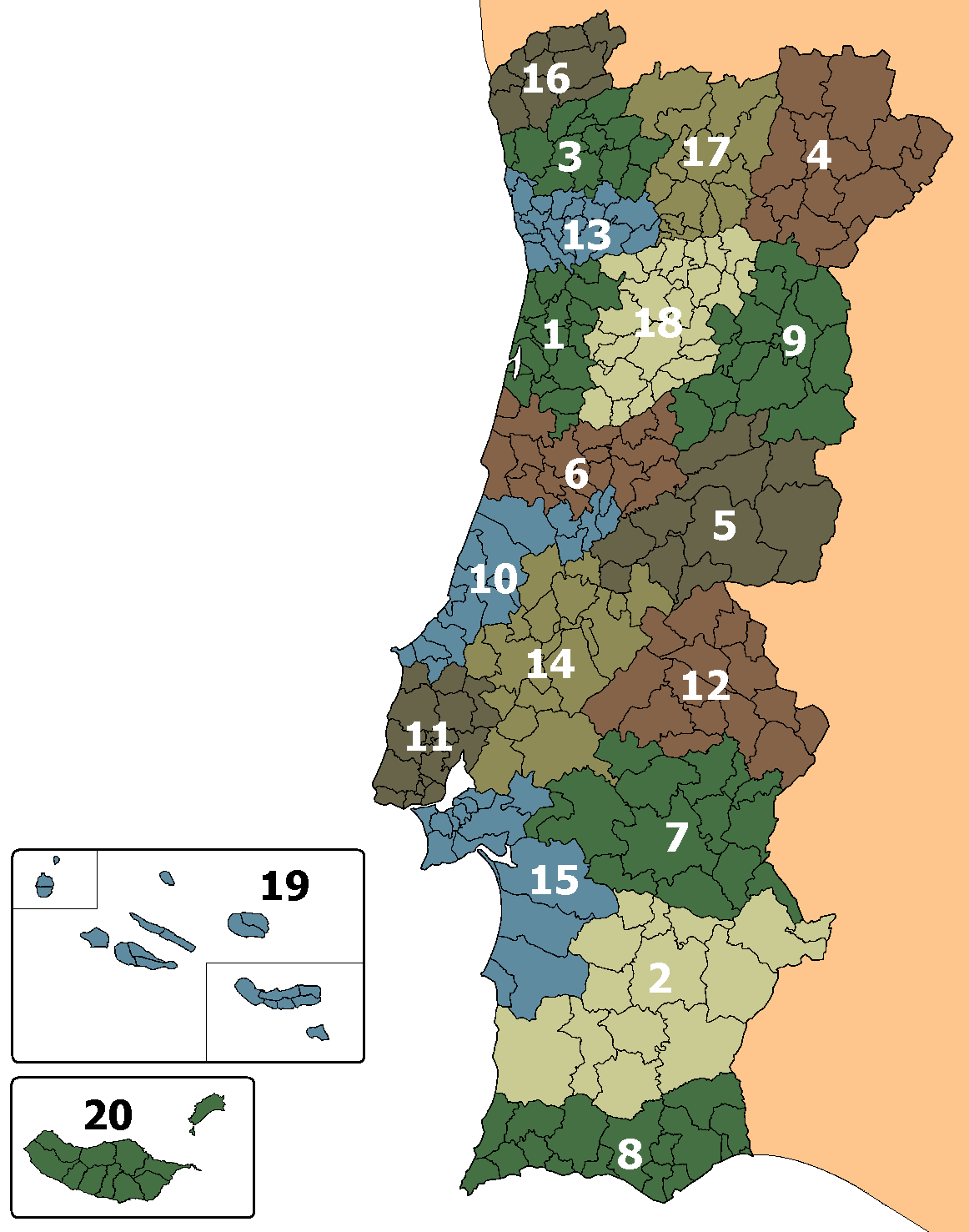
- 2006-04-15T16:58:58Z Mortadelo2005 1162x1477 (115823 Bytes) :Map of Portuguese municipalities within the respective district or autonomous region {| class="toccolours" width:300px; margin:0em 0em 1em 1em;" cellpadding="0" cellspacing=0 |- bgcolor=#ffeeee | style="width:10px; height:5
Uploaded with derivativeFX
File history
Click on a date/time to view the file as it appeared at that time.
| Date/Time | Thumbnail | Dimensions | User | Comment | |
|---|---|---|---|---|---|
| current | 17:14, 13 January 2012 | | 1,162 × 1,477 (113 KB) | PG 123 (talk | contribs) | == {{int:filedesc}} == {{Information |Description=:Map of Portuguese municipalities within the respective district or autonomous region |Source={{Derived from|Portuguese_municipalities_districts2.PNG|display=50}} |Date=2012-01-13 17:00 (UTC) |Author=*[[:F |
You cannot overwrite this file.
File usage on Commons
The following page uses this file:
File usage on other wikis
The following other wikis use this file:
- Usage on en.wikipedia.org
- Usage on lez.wikipedia.org
- Usage on ur.wikipedia.org
- Usage on www.wikidata.org