File:Potok Górny (gmina) location map.png

Original file (1,058 × 917 pixels, file size: 208 KB, MIME type: image/png)
Captions
Captions
Summary
edit_location_map.png&action=edit§ion=1)
| Description |
English: Location map |
| Date | |
| Source | Own work |
| Author | Smat |
| Description |
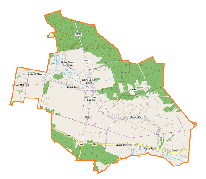
Polski: Mapa gminy Potok Górny, Polska
English: Map of Potok Górny (gmina), Poland |
|||||||||
| Date | ||||||||||
| Source | You may find a page on the OpenStreetMap wiki page for Potok Górny (gmina) | |||||||||
| Creator |
OpenStreetMap contributors OpenStreetMap contributors |
|||||||||
| Permission (Reusing this file) |
OpenStreetMap data is available under the Open Database License (details). Map tiles are licensed under the Creative Commons Attribution-ShareAlike 2.0 license (CC-BY-SA 2.0).
This file is licensed under the Creative Commons Attribution-Share Alike 2.0 Generic license.
|
|||||||||
| Geotemporal data | ||||||||||
| Bounding box |
|
|||||||||
| Georeferencing | If inappropriate please set warp_status = skip to hide. | |||||||||
Licensing
edit_location_map.png&action=edit§ion=2)
| This work contains information from OpenStreetMap, which is made available under the Open Database License (ODbL).
The ODbL does not require any particular license for maps produced from ODbL data. Prior to 1 August 2020, map tiles produced by the OpenStreetMap Foundation were licensed under the CC-BY-SA-2.0 license. Maps produced by other people may be subject to other licences. |
File history
Click on a date/time to view the file as it appeared at that time.
| Date/Time | Thumbnail | Dimensions | User | Comment | |
|---|---|---|---|---|---|
| current | 14:50, 28 August 2017 | | 1,058 × 917 (208 KB) | Smat (talk | contribs) | User created page with UploadWizard |
You cannot overwrite this file.
File usage on Commons
There are no pages that use this file.
File usage on other wikis
The following other wikis use this file:
- Usage on pl.wikipedia.org
- Potok Górny (gmina)
- Jasiennik Stary
- Jedlinki
- Lipiny Dolne
- Lipiny Górne-Borowina
- Lipiny Górne-Lewki
- Naklik
- Potok Górny
- Zagródki (województwo lubelskie)
- Szyszków (województwo lubelskie)
- Dąbrówka (powiat biłgorajski)
- Kolonia Malennik
- Lipiny Dolne-Kolonia
- Parafia św. Jana Chrzciciela w Potoku Górnym
- Parafia Matki Bożej Częstochowskiej w Lipinach Górnych
- Cmentarz rzymskokatolicki w Potoku Górnym
- Cmentarz prawosławny w Potoku Górnym
- Cmentarz rzymskokatolicki w Lipinach Górnych
- Cmentarz prawosławny w Lipinach Górnych
- Moduł:Mapa/dane/Potok Górny (gmina)
- Kościół św. Jana Chrzciciela w Potoku Górnym
- Usage on pl.wikibooks.org
_location_map.png&oldid=708058258)