File:Powiat grodziski (województwo mazowieckie) location map.png

Size of this preview: 521 × 600 pixels. Other resolutions: 208 × 240 pixels | 417 × 480 pixels | 754 × 868 pixels.
Original file (754 × 868 pixels, file size: 360 KB, MIME type: image/png)
Captions
Captions
Add a one-line explanation of what this file represents
| Description |
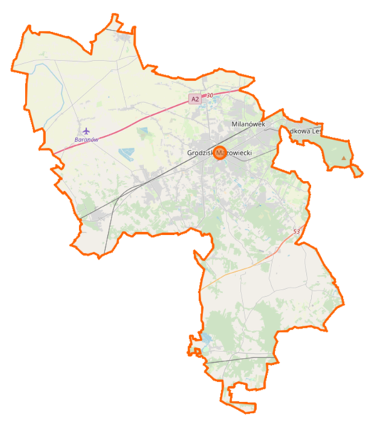
Polski: Mapa powiatu grodziskiego (województwo mazowieckie), Polska
English: Map of Powiat grodziski, Poland |
|||||||||
| Date | ||||||||||
| Source | You may find a page on the OpenStreetMap wiki page for Powiat grodziski (województwo mazowieckie) | |||||||||
| Creator |
OpenStreetMap contributors OpenStreetMap contributors |
|||||||||
| Permission (Reusing this file) |
OpenStreetMap data is available under the Open Database License (details). Map tiles are licensed under the Creative Commons Attribution-ShareAlike 2.0 license (CC-BY-SA 2.0).
This file is licensed under the Creative Commons Attribution-Share Alike 2.0 Generic license.
|
|||||||||
| Geotemporal data | ||||||||||
| Bounding box |
|
|||||||||
| Georeferencing | If inappropriate please set warp_status = skip to hide. | |||||||||
File history
Click on a date/time to view the file as it appeared at that time.
| Date/Time | Thumbnail | Dimensions | User | Comment | |
|---|---|---|---|---|---|
| current | 09:32, 26 December 2018 | | 754 × 868 (360 KB) | Matel4472 (talk | contribs) | Aktualizacja 4 letniej mapy |
| 06:31, 19 September 2014 |  | 754 × 868 (208 KB) | VanWiel (talk | contribs) | {{OpenStreetMap | name = Powiat grodziski (województwo mazowieckie) | location = Powiat grodziski (województwo mazowieckie) | description = {{pl|Mapa powiatu grodziskiego (województwo mazowieckie), Polska}} {{en|Ma... |
You cannot overwrite this file.
File usage on Commons
There are no pages that use this file.
File usage on other wikis
The following other wikis use this file:
- Usage on pl.wikipedia.org
- Milanówek
- Grodzisk Mazowiecki
- Powiat grodziski (województwo mazowieckie)
- Warszawska Kolej Dojazdowa
- Podkowa Leśna
- Centralny Port Komunikacyjny
- Jaktorów
- Międzyborów
- Kaski (województwo mazowieckie)
- Basin (województwo mazowieckie)
- Budy-Grzybek
- Budy Zosine
- Chlebnia
- Chrzanów Duży
- Chrzanów Mały
- Chylice-Kolonia
- Drybus
- Gongolina
- Henryszew
- Holendry Baranowskie
- Izdebno Kościelne
- Jaktorów-Kolonia
- Kraśnicza Wola
- Kady
- Kopiska
- Kozerki
- Kozery
- Nowa Pułapina
- Izdebno Nowe
- Kłudno Nowe
- Kozery Nowe
- Odrano-Wola
- Opypy
- Radonie
- Regów
- Sade Budy
- Stara Pułapina
- Kłudno Stare
- Tłuste (województwo mazowieckie)
- Władków
- Wężyk (województwo mazowieckie)
- Zabłotnia
- Adamowizna (województwo mazowieckie)
- Bieganów (województwo mazowieckie)
- Buszyce (województwo mazowieckie)
- Gole (województwo mazowieckie)
- Janinów (województwo mazowieckie)
- Makówka (województwo mazowieckie)
- Murowaniec (województwo mazowieckie)
- Strumiany (województwo mazowieckie)
View more global usage of this file.
_location_map.png)
_location_map.png&oldid=519990019)