File:Powiat karkonoski location map.png

Original file (2,255 × 1,751 pixels, file size: 939 KB, MIME type: image/png)
Captions
Captions
Summary edit
| Description |
English: Location map |
| Date | |
| Source | Own work |
| Author | Smat |
| Description |
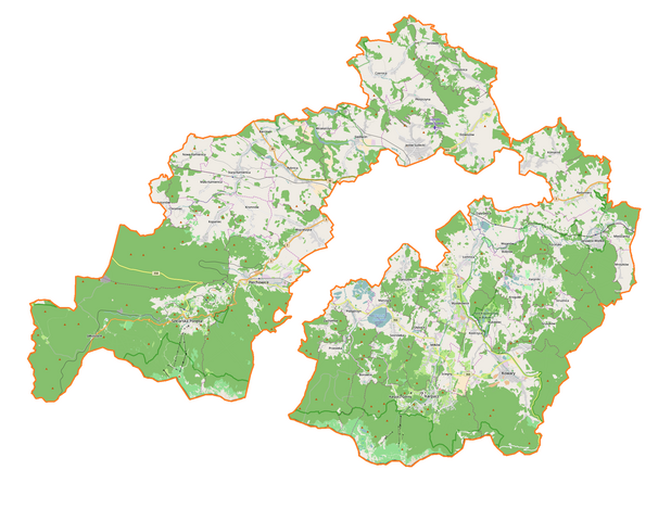
Polski: Mapa powiatu karkonoskiego, Polska
English: Map of powiat karkonoski, Poland |
|||||||||
| Date | ||||||||||
| Source | You may find a page on the OpenStreetMap wiki page for powiat karkonoski | |||||||||
| Creator |
OpenStreetMap contributors OpenStreetMap contributors |
|||||||||
| Permission (Reusing this file) |
OpenStreetMap data is available under the Open Database License (details). Map tiles are licensed under the Creative Commons Attribution-ShareAlike 2.0 license (CC-BY-SA 2.0).
This file is licensed under the Creative Commons Attribution-Share Alike 2.0 Generic license.
|
|||||||||
| Geotemporal data | ||||||||||
| Bounding box |
|
|||||||||
| Georeferencing | If inappropriate please set warp_status = skip to hide. | |||||||||
Licensing edit
| This work contains information from OpenStreetMap, which is made available under the Open Database License (ODbL).
The ODbL does not require any particular license for maps produced from ODbL data. Prior to 1 August 2020, map tiles produced by the OpenStreetMap Foundation were licensed under the CC-BY-SA-2.0 license. Maps produced by other people may be subject to other licences. |
File history
Click on a date/time to view the file as it appeared at that time.
| Date/Time | Thumbnail | Dimensions | User | Comment | |
|---|---|---|---|---|---|
| current | 10:45, 5 January 2017 | | 2,255 × 1,751 (939 KB) | Smat (talk | contribs) | User created page with UploadWizard |
You cannot overwrite this file.
File usage on Commons
The following page uses this file:
- File:Powiat jeleniogórski location map.png (file redirect)
File usage on other wikis
The following other wikis use this file:
- Usage on eo.wikipedia.org
- Usage on pl.wikipedia.org
- Karpacz
- Orlinek (skocznia narciarska)
- Rezerwat przyrody Krokusy w Górzyńcu
- Szklarska Poręba
- Jakuszyce
- Trzcińsko
- Janowice Wielkie
- Piechowice
- Kamienna (dopływ Bobru)
- Łomnica (dopływ Bobru)
- Łomnica (powiat karkonoski)
- Siedlęcin
- Piastów (Piechowice)
- Przesieka (województwo dolnośląskie)
- Dziwiszów
- Świątynia Wang
- Bukowiec (województwo dolnośląskie)
- Strużnica
- Karpniki
- Zamek w Karpnikach
- Staniszów
- Barcinek (województwo dolnośląskie)
- Jeżów Sudecki
- Kopaniec (województwo dolnośląskie)
- Kostrzyca (województwo dolnośląskie)
- Mała Kamienica
- Marczyce
- Mysłakowice
- Nowa Kamienica
- Karpacz Górny
- Płoszczyna
- Krogulec (województwo dolnośląskie)
- Stara Kamienica
- Ścięgny
- Wojanów
- Wrzeszczyn
- Płóczki
- Pakoszów (Piechowice)
- Antoniów (województwo dolnośląskie)
- Borowice (województwo dolnośląskie)
- Chromiec (województwo dolnośląskie)
- Chrośnica (województwo dolnośląskie)
- Głębock (województwo dolnośląskie)
- Gruszków (województwo dolnośląskie)
- Komarno (województwo dolnośląskie)
- Kromnów (województwo dolnośląskie)
- Miedzianka (województwo dolnośląskie)
- Miłków (województwo dolnośląskie)
- Mniszków (województwo dolnośląskie)
View more global usage of this file.