File:Powiat myśliborski location map.png

Size of this preview: 704 × 599 pixels. Other resolutions: 282 × 240 pixels | 564 × 480 pixels | 902 × 768 pixels | 1,203 × 1,024 pixels | 1,337 × 1,138 pixels.
Original file (1,337 × 1,138 pixels, file size: 133 KB, MIME type: image/png)
Captions
Captions
Add a one-line explanation of what this file represents
| Description |
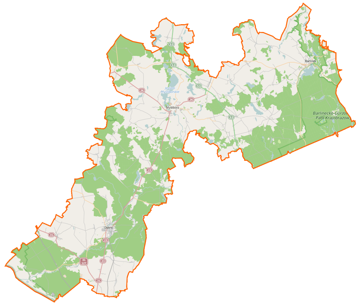
Polski: Mapa powiatu myśliborskiego, Polska
English: Map of Powiat myśliborski, Poland |
|||||||||
| Date | ||||||||||
| Source | You may find a page on the OpenStreetMap wiki page for Powiat myśliborski | |||||||||
| Creator |
OpenStreetMap contributors OpenStreetMap contributors |
|||||||||
| Permission (Reusing this file) |
OpenStreetMap data is available under the Open Database License (details). Map tiles are licensed under the Creative Commons Attribution-ShareAlike 2.0 license (CC-BY-SA 2.0).
This file is licensed under the Creative Commons Attribution-Share Alike 2.0 Generic license.
|
|||||||||
| Geotemporal data | ||||||||||
| Bounding box |
|
|||||||||
| Georeferencing | If inappropriate please set warp_status = skip to hide. | |||||||||
File history
Click on a date/time to view the file as it appeared at that time.
| Date/Time | Thumbnail | Dimensions | User | Comment | |
|---|---|---|---|---|---|
| current | 06:35, 19 February 2015 | | 1,337 × 1,138 (133 KB) | VanWiel (talk | contribs) | {{Information |Description= |Source= |Date= |Author= |Permission= |other_versions= }} |
| 06:19, 19 February 2015 |  | 1,337 × 1,138 (133 KB) | VanWiel (talk | contribs) | {{OpenStreetMap | name = Powiat myśliborski | location = Powiat myśliborski | description = {{pl|Mapa powiatu myśliborskiego, Polska}} {{en|Map of Powiat myśliborski, Poland}} | top = 53.0895 | bottom... |
You cannot overwrite this file.
File usage on Commons
There are no pages that use this file.
File usage on other wikis
The following other wikis use this file:
- Usage on eo.wikipedia.org
- Usage on pl.wikipedia.org
- Cychry (województwo zachodniopomorskie)
- Chwarszczany
- Powiat myśliborski
- Barlinek
- Myślibórz
- Dębno
- Sarbinowo (gmina Dębno)
- Kosa (dopływ Myśli)
- Barnówko (wieś)
- Boleszkowice
- Brunki
- Czółnów
- Dalsze
- Derczewo
- Dyszno
- Dzikówko
- Golenice
- Golczew
- Gryżyno
- Gudzisz
- Grzymiradz
- Klicko (Polska)
- Krężelin
- Kruszwin
- Krześnica
- Krzynka
- Kaleńsko
- Kinice (województwo zachodniopomorskie)
- Kolonia Myśliborzyce
- Laskówko
- Listomie
- Moczkowo
- Mostno
- Niepołcko
- Namyślin
- Nawrocko
- Nowogródek Pomorski
- Oborzany
- Okunie (wieś)
- Otanów
- Ożar
- Parzeńsko
- Płonno (województwo zachodniopomorskie)
- Podławie
- Pszczelnik
- Prądnik (wieś)
- Rów (województwo zachodniopomorskie)
- Różańsko
- Renice
View more global usage of this file.