File:Powiat wieluński location map.png
Original file (1,164 × 1,149 pixels, file size: 618 KB, MIME type: image/png)
Captions
Captions
Summary edit
| Description |
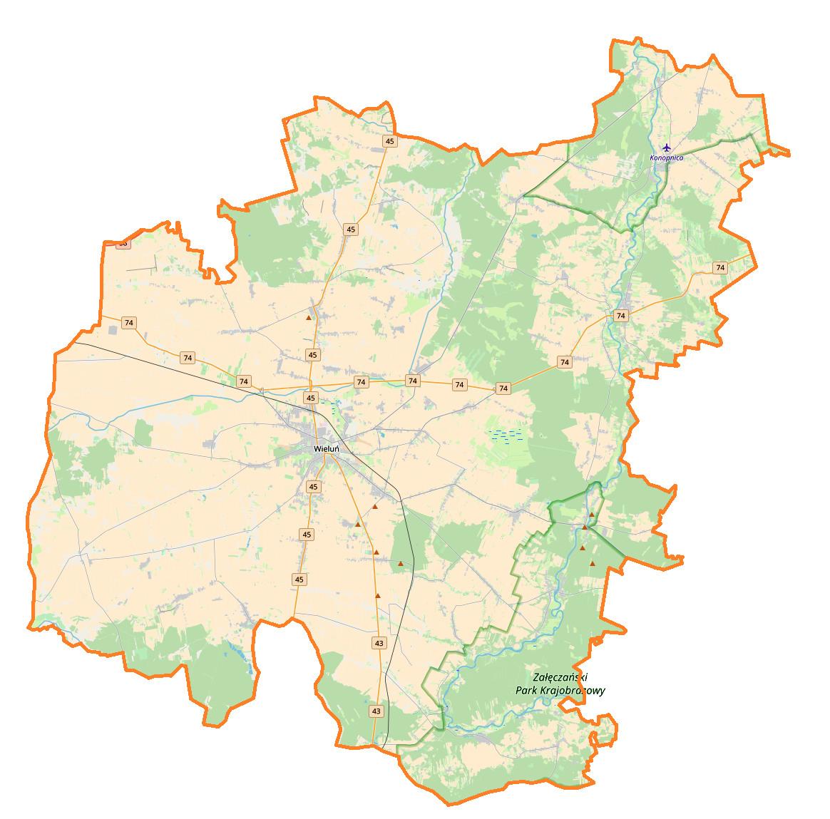
English: Location map |
| Date | |
| Source | Own work |
| Author | Smat |
| Description |
Polski: Mapa powiatu wieluńskiego, Polska
English: Map of powiat wieluński, Poland |
|||||||||
| Date | ||||||||||
| Source | You may find a page on the OpenStreetMap wiki page for powiat wieluński | |||||||||
| Creator |
OpenStreetMap contributors OpenStreetMap contributors |
|||||||||
| Permission (Reusing this file) |
OpenStreetMap data is available under the Open Database License (details). Map tiles are licensed under the Creative Commons Attribution-ShareAlike 2.0 license (CC-BY-SA 2.0).
This file is licensed under the Creative Commons Attribution-Share Alike 2.0 Generic license.
|
|||||||||
| Geotemporal data | ||||||||||
| Bounding box |
|
|||||||||
| Georeferencing | If inappropriate please set warp_status = skip to hide. | |||||||||
Licensing edit
| This work contains information from OpenStreetMap, which is made available under the Open Database License (ODbL).
The ODbL does not require any particular license for maps produced from ODbL data. Prior to 1 August 2020, map tiles produced by the OpenStreetMap Foundation were licensed under the CC-BY-SA-2.0 license. Maps produced by other people may be subject to other licences. |
File history
Click on a date/time to view the file as it appeared at that time.
| Date/Time | Thumbnail | Dimensions | User | Comment | |
|---|---|---|---|---|---|
| current | 09:44, 26 January 2018 | | 1,164 × 1,149 (618 KB) | Smat (talk | contribs) | User created page with UploadWizard |
You cannot overwrite this file.
File usage on Commons
There are no pages that use this file.
File usage on other wikis
The following other wikis use this file:
- Usage on pl.wikipedia.org
- Wieluń
- Oleśnica (dopływ Warty)
- Wieluń Dąbrowa
- Osiedle Stare Sady
- Chotów (województwo łódzkie)
- Czarnożyły
- Dzietrzniki
- Kadłub (województwo łódzkie)
- Kamion (województwo łódzkie)
- Komorniki (powiat wieluński)
- Konopnica (powiat wieluński)
- Krzeczów (województwo łódzkie)
- Krzyworzeka (województwo łódzkie)
- Kurów (powiat wieluński)
- Łagiewniki (powiat wieluński)
- Biała Druga (województwo łódzkie)
- Masłowice (powiat wieluński)
- Starzenice
- Mokrsko
- Naramice
- Krzętle
- Osjaków
- Biała-Kopiec
- Biała Rządowa
- Bieniec (województwo łódzkie)
- Bieniądzice
- Borki Walkowskie
- Broników (powiat wieluński)
- Ożarów (województwo łódzkie)
- Chorzyna
- Dolina Czernicka
- Drobnice
- Dymek (wieś)
- Popowice (województwo łódzkie)
- Emanuelina
- Przywóz
- Gabrielów (województwo łódzkie)
- Gaszyn
- Raczyn (województwo łódzkie)
- Grębień
- Huby (województwo łódzkie)
- Huta Czernicka
- Jajczaki
- Jodłowiec
- Klapka
- Klasak Duży
- Kraszkowice
- Kuźnica Ługowska
- Kuźnica Strobińska
- Ruda (powiat wieluński)
View more global usage of this file.