File:Powiat zwoleński location map.png
Size of this preview: 710 × 600 pixels. Other resolutions: 284 × 240 pixels | 568 × 480 pixels | 1,016 × 858 pixels.
Original file (1,016 × 858 pixels, file size: 149 KB, MIME type: image/png)
Captions
Captions
Add a one-line explanation of what this file represents
| Description |
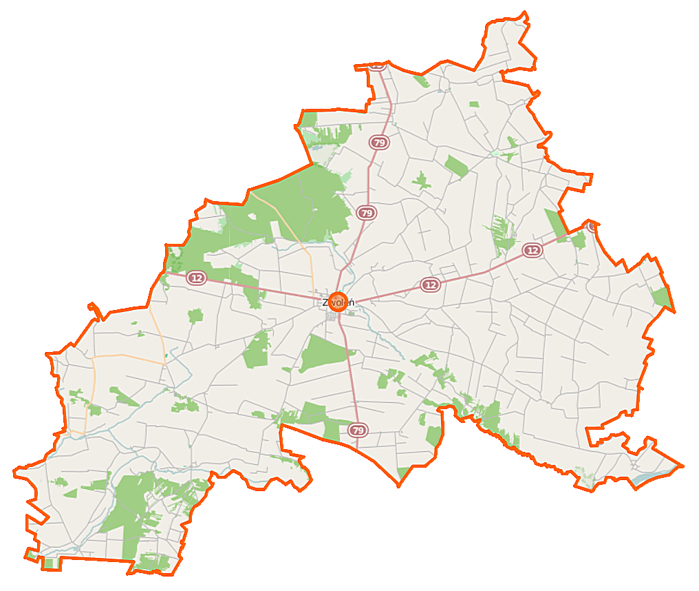
Polski: Mapa powiatu zwoleńskiego, Polska
English: Map of Powiat zwoleński, Poland |
|||||||||
| Date | ||||||||||
| Source | You may find a page on the OpenStreetMap wiki page for Powiat zwoleński | |||||||||
| Creator |
OpenStreetMap contributors OpenStreetMap contributors |
|||||||||
| Permission (Reusing this file) |
OpenStreetMap data is available under the Open Database License (details). Map tiles are licensed under the Creative Commons Attribution-ShareAlike 2.0 license (CC-BY-SA 2.0).
This file is licensed under the Creative Commons Attribution-Share Alike 2.0 Generic license.
|
|||||||||
| Geotemporal data | ||||||||||
| Bounding box |
|
|||||||||
| Georeferencing | If inappropriate please set warp_status = skip to hide. | |||||||||
File history
Click on a date/time to view the file as it appeared at that time.
| Date/Time | Thumbnail | Dimensions | User | Comment | |
|---|---|---|---|---|---|
| current | 08:30, 15 October 2014 | | 1,016 × 858 (149 KB) | VanWiel (talk | contribs) | {{OpenStreetMap | name = Powiat zwoleński | location = Powiat zwoleński | description = {{pl|Mapa powiatu zwoleńskiego, Polska}} {{en|Map of Powiat zwoleński, Poland}} | top = 51.5070 | left =... |
You cannot overwrite this file.
File usage on Commons
There are no pages that use this file.
File usage on other wikis
The following other wikis use this file:
- Usage on pl.wikipedia.org
- Powiat zwoleński
- Szablon:Polskie miasto infobox
- Czarnolas (powiat zwoleński)
- Atalin
- Barycz Nowa
- Bierdzież
- Brzezinki Nowe
- Brzezinki Stare
- Chechły
- Filipinów
- Gródek (powiat zwoleński)
- Grabów nad Wisłą
- Jadwinów (powiat zwoleński)
- Jasieniec-Kolonia
- Jasieniec Solecki
- Kroczów Mniejszy
- Kroczów Większy
- Kowalków
- Kowalków-Kolonia
- Lucimia
- Łaguszów
- Ławeczko Nowe
- Ławeczko Stare
- Ługowa Wola
- Miechów-Kolonia
- Mierziączka
- Męciszów
- Mszadla Dolna
- Mszadla Nowa
- Mszadla Stara
- Niedarczów Dolny-Kolonia
- Niedarczów Dolny-Wieś
- Niedarczów Górny-Kolonia
- Niedarczów Górny-Wieś
- Ostrownica (powiat zwoleński)
- Ostrownica-Kolonia
- Ostrówka
- Paciorkowa Wola Nowa
- Paciorkowa Wola Stara
- Pająków
- Piątków
- Podzagajnik
- Podzakrzówek
- Ranachów-Wieś
- Szlachecki Las
- Sycyna Północna
- Sydół
- Strykowice Błotne
- Strykowice Górne
- Strykowice Podleśne
View more global usage of this file.