File:Pragarolo, Garbagna, Italia.jpg

Size of this preview: 800 × 450 pixels. Other resolutions: 320 × 180 pixels | 640 × 360 pixels | 1,144 × 643 pixels.
Original file (1,144 × 643 pixels, file size: 439 KB, MIME type: image/jpeg)
Captions
Captions
Add a one-line explanation of what this file represents
Summary
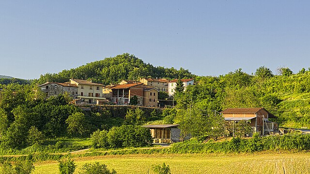
edit| Description | Pragarolo |
| Date | 23 June 2013 (original upload date) |
| Source | https://web.archive.org/web/20161103002250/http://www.panoramio.com/photo/92163578 |
| Author | Terensky |
| Permission (Reusing this file) |
This file is licensed under the Creative Commons Attribution 3.0 Unported license. Attribution: Terensky
|
| Other versions | |
| Tags (from Panoramio photo page) | Avolasca, Avolasca, Piemonte |

| Camera location | | View this and other nearby images on: OpenStreetMap |
|---|
File history
Click on a date/time to view the file as it appeared at that time.
| Date/Time | Thumbnail | Dimensions | User | Comment | |
|---|---|---|---|---|---|
| current | 14:13, 16 June 2024 | | 1,144 × 643 (439 KB) | MrKeefeJohn (talk | contribs) | File:Pragarolo - panoramio.jpg cropped 43 % horizontally, 52 % vertically, 72 % areawise using CropTool with precise mode. |
You cannot overwrite this file.
File usage on Commons
The following 3 pages use this file:
File usage on other wikis
The following other wikis use this file:
- Usage on ce.wikipedia.org
- Usage on sh.wikipedia.org
- Usage on sr.wikipedia.org
- Usage on tt.wikipedia.org
- Usage on www.wikidata.org