File:Pragarolo - panoramio.jpg
Size of this preview: 800 × 530 pixels. Other resolutions: 320 × 212 pixels | 640 × 424 pixels | 1,024 × 679 pixels | 1,280 × 849 pixels | 2,000 × 1,326 pixels.
Original file (2,000 × 1,326 pixels, file size: 1.37 MB, MIME type: image/jpeg)
Captions
Captions
Add a one-line explanation of what this file represents
Summary
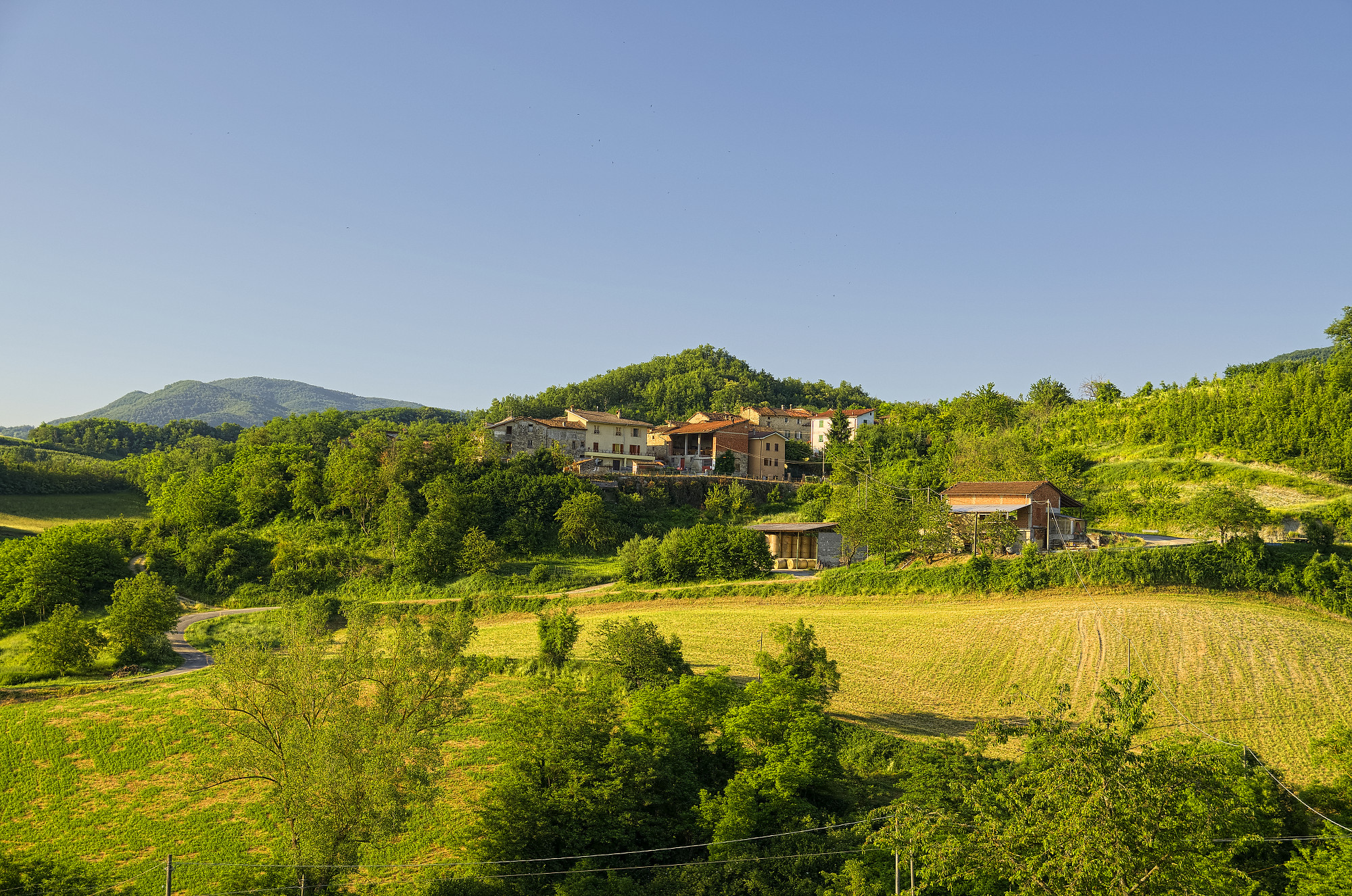
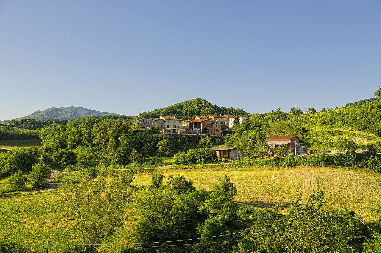
edit| Description | Pragarolo | ||
| Date | 23 June 2013 (original upload date) | ||
| Source | https://web.archive.org/web/20161103002250/http://www.panoramio.com/photo/92163578 | ||
| Author | Terensky | ||
| Permission (Reusing this file) |
This file is licensed under the Creative Commons Attribution 3.0 Unported license. Attribution: Terensky
|
||
| Other versions | |||
| Tags (from Panoramio photo page) | Avolasca, Avolasca, Piemonte |

| Camera location | | View this and other nearby images on: OpenStreetMap |
|---|

|
The categories of this image need checking. You can do so here.
|
File history
Click on a date/time to view the file as it appeared at that time.
| Date/Time | Thumbnail | Dimensions | User | Comment | |
|---|---|---|---|---|---|
| current | 19:39, 24 February 2017 | | 2,000 × 1,326 (1.37 MB) | Panoramio upload bot (talk | contribs) | == {{int:filedesc}} == {{Information |description=Pragarolo |date={{Original upload date|2013-06-23}} |source=http://www.panoramio.com/photo/92163578 |author=[http://www.panoramio.com/user/4616731?with_photo_id=92163578 Terensky] |permission={{cc-by-3.... |
You cannot overwrite this file.
File usage on Commons
The following page uses this file: