File:PrescottWI aerial view.jpg
Size of this preview: 800 × 518 pixels. Other resolutions: 320 × 207 pixels | 640 × 415 pixels | 1,024 × 663 pixels | 1,280 × 829 pixels | 2,400 × 1,555 pixels.
Original file (2,400 × 1,555 pixels, file size: 700 KB, MIME type: image/jpeg)
Captions
Captions
Add a one-line explanation of what this file represents
Summary
edit
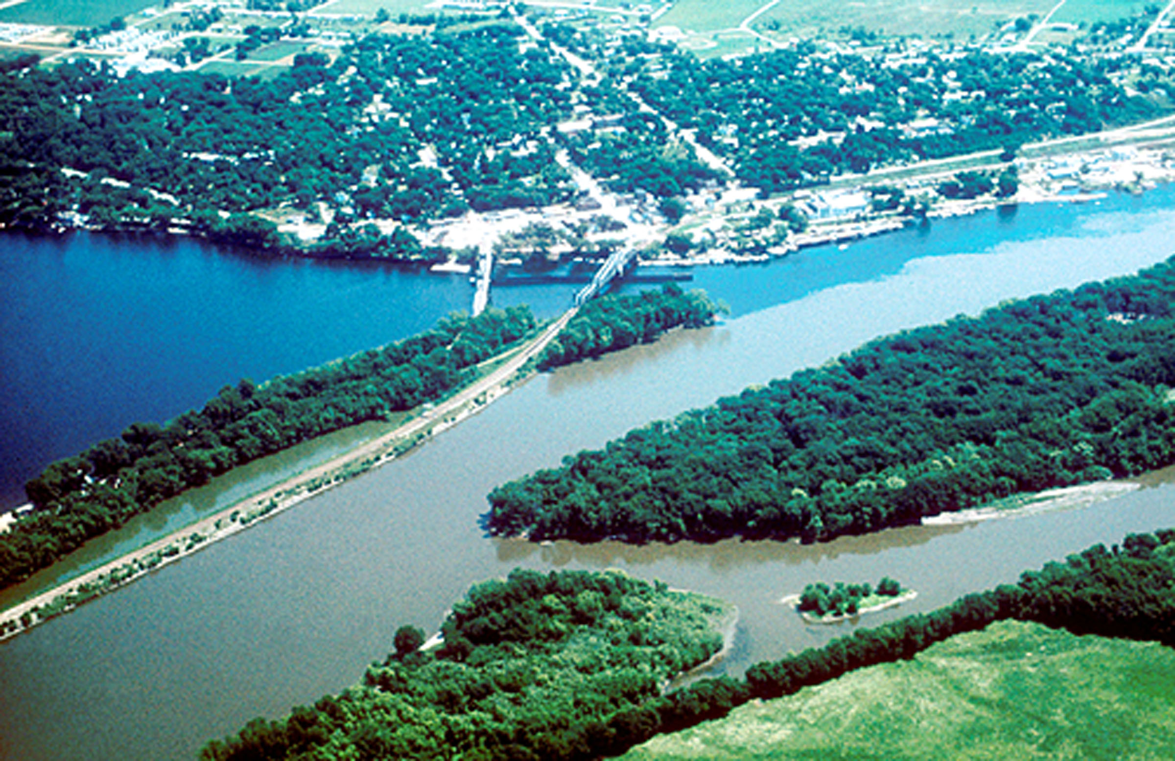
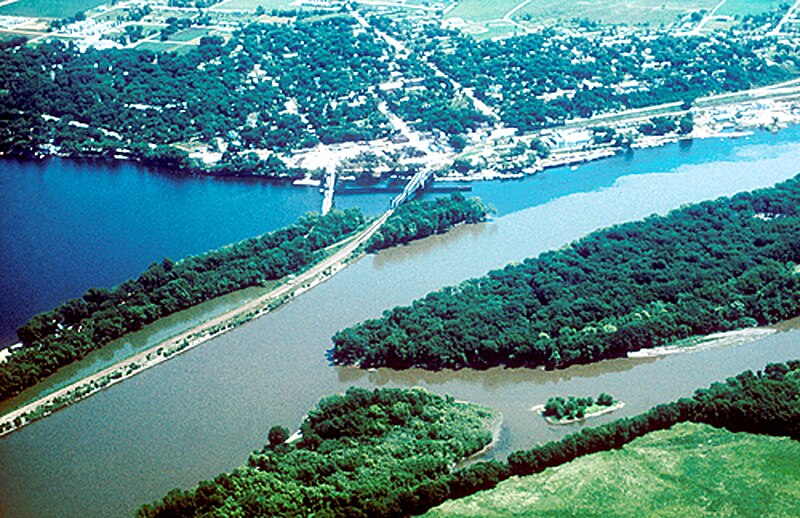
| Description | Aerial view of Prescott, Wisconsin, at the confluence of the St. Croix National Scenic Riverway (left) and the Mississippi River (right). |
| Date | Unknown date |
| Source | http://www.fhwa.dot.gov/byways/photos/27278 |
| Author | Unknown author |
Licensing
edit
| This image is a work of a United States Department of Transportation employee, taken or made as part of that person's official duties. As a work of the U.S. federal government, the image is in the public domain. |
File history
Click on a date/time to view the file as it appeared at that time.
| Date/Time | Thumbnail | Dimensions | User | Comment | |
|---|---|---|---|---|---|
| current | 15:56, 5 April 2006 | | 2,400 × 1,555 (700 KB) | Holly Cheng (talk | contribs) | Aerial view of w:Prescott, Wisconsin. Source: http://library.byways.org/download.html?DOWNLOAD_ID=1144194616&FILE_ID= |
You cannot overwrite this file.
File usage on Commons
There are no pages that use this file.
File usage on other wikis
The following other wikis use this file:
- Usage on de.wikipedia.org
- Usage on en.wikipedia.org
- Usage on es.wikipedia.org