File:Presque Isle OpenStreetMap.png

Size of this preview: 800 × 600 pixels. Other resolutions: 320 × 240 pixels | 640 × 480 pixels | 1,024 × 768 pixels | 1,319 × 989 pixels.
Original file (1,319 × 989 pixels, file size: 223 KB, MIME type: image/png)
Captions
Captions
Add a one-line explanation of what this file represents
Summary edit
| Description |
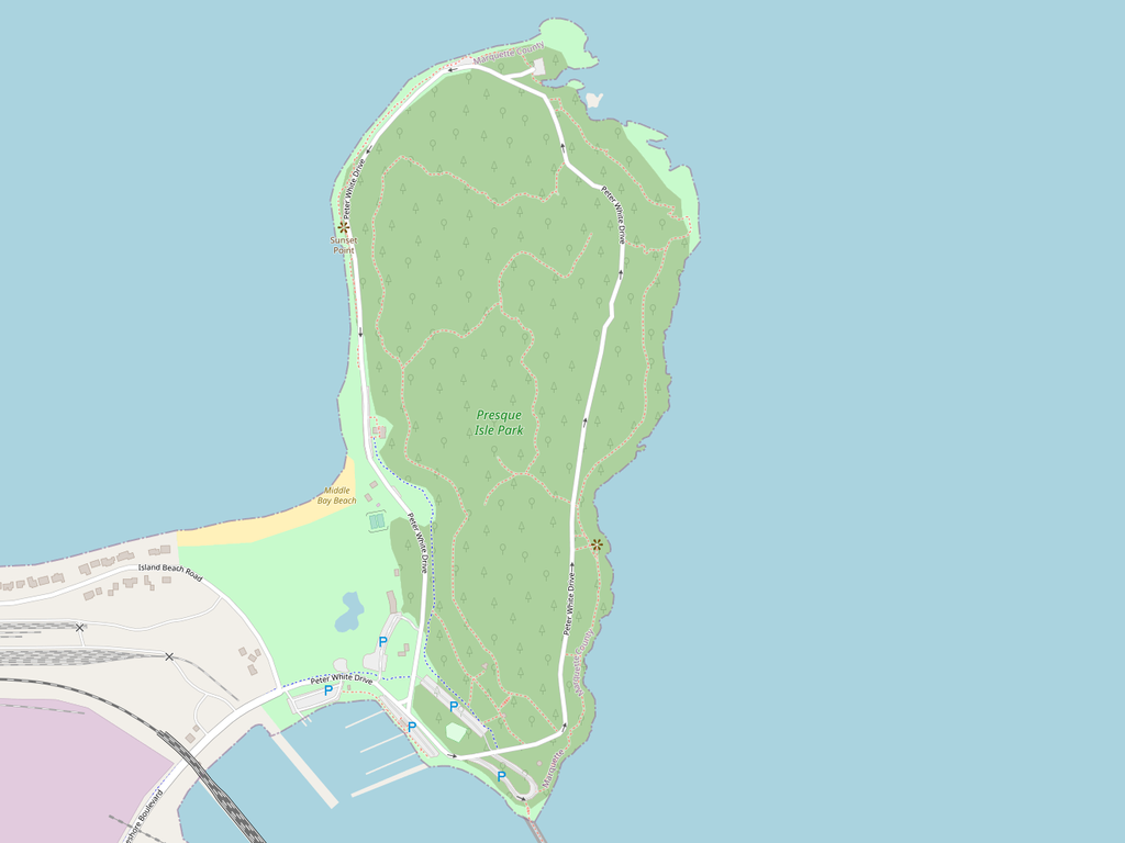
English: A map of Presque Isle Park in Marquette, Michigan, created by the OpenStreetMap community. |
| Date | |
| Source | www.openstreetmap.org |
| Author | OpenStreetMap contributors |
Licensing edit
This file is licensed under the Creative Commons Attribution-Share Alike 2.0 Generic license.
- You are free:
- to share – to copy, distribute and transmit the work
- to remix – to adapt the work
- Under the following conditions:
- attribution – You must give appropriate credit, provide a link to the license, and indicate if changes were made. You may do so in any reasonable manner, but not in any way that suggests the licensor endorses you or your use.
- share alike – If you remix, transform, or build upon the material, you must distribute your contributions under the same or compatible license as the original.
 |
This image, originally posted to OpenStreetMap-Wiki, has not yet been reviewed by an administrator or reviewer to confirm that the stated license is valid. See Category:OpenStreetMap review needed for further instructions. |
File history
Click on a date/time to view the file as it appeared at that time.
| Date/Time | Thumbnail | Dimensions | User | Comment | |
|---|---|---|---|---|---|
| current | 17:32, 16 September 2020 | | 1,319 × 989 (223 KB) | Hitoubashira (talk | contribs) | Adjusted dimensions |
| 16:51, 16 September 2020 |  | 807 × 1,052 (191 KB) | Hitoubashira (talk | contribs) | Uploaded a work by [http://www.openstreetmap.org/copyright OpenStreetMap contributors] from [https://www.openstreetmap.org/#map=15/46.5871/-87.3841 www.openstreetmap.org] with UploadWizard |
You cannot overwrite this file.
File usage on Commons
The following page uses this file:
File usage on other wikis
The following other wikis use this file:
- Usage on en.wikipedia.org