File:Princes Street on an 1870s Ordnance Survey map.png

Size of this preview: 745 × 599 pixels. Other resolutions: 298 × 240 pixels | 597 × 480 pixels | 955 × 768 pixels | 1,273 × 1,024 pixels | 2,546 × 2,048 pixels | 4,738 × 3,812 pixels.
Original file (4,738 × 3,812 pixels, file size: 13.46 MB, MIME type: image/png)
Captions
Captions
Add a one-line explanation of what this file represents
| Description |
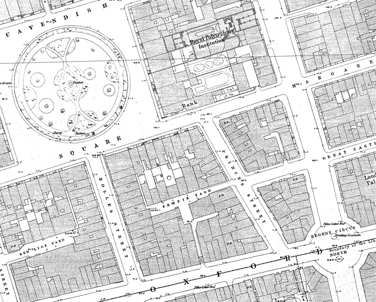
English: Princes Street on an 1870s Ordnance Survey map |
|||
| Date | 1870s | |||
| Source | Scan of original | |||
| Author | Ordnance Survey | |||
| Permission (Reusing this file) |
|

File history
Click on a date/time to view the file as it appeared at that time.
| Date/Time | Thumbnail | Dimensions | User | Comment | |
|---|---|---|---|---|---|
| current | 20:19, 11 December 2016 | | 4,738 × 3,812 (13.46 MB) | Philafrenzy (talk | contribs) | {{Information |Description ={{en|1=Princes Street on an 1870s Ordnance Survey map}} |Source =Scan of original |Author =Ordnance Survey |Date =1870s |Permission ={{PD-UKGov}} |other_versions = }} [[Category:John Prince'... |
You cannot overwrite this file.
File usage on Commons
There are no pages that use this file.
File usage on other wikis
The following other wikis use this file:
- Usage on en.wikipedia.org