File:Prokopske Jezirko Pozerak.jpg

Size of this preview: 800 × 600 pixels. Other resolutions: 320 × 240 pixels | 640 × 480 pixels | 1,024 × 768 pixels | 1,280 × 960 pixels | 1,600 × 1,200 pixels.
Original file (1,600 × 1,200 pixels, file size: 420 KB, MIME type: image/jpeg)
Captions
Captions
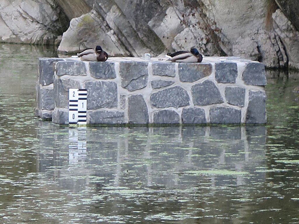
The upper part of the device for regulating the level of the water level (the so-called water intake tower) in Prokop's pond in Prague's Hlubočepy.
Summary
edit
| Description |
English: The upper part of the device for regulating the level of the water level (the so-called water intake tower) in Prokop's pond in Prague's Hlubočepy. The device is installed at the southern edge of the rock mass of the Hlubočepy pond in Prague. View of the control device in operation, when the water in the pond is already filled.
Čeština: Vrchní část zařízení pro regulaci výšky hladiny (tak zvaný požerák) v Prokopském jezírce v pražských Hlubočepích. Zařízení je instalované při jižním okrajovém skalním masivu hlubočepského jezírka v Praze. Pohled na regulační zařízení v provozu, kdy voda v jezírku je již napuštěna. |
| Date | |
| Source | Own work |
| Author | Mojmir Churavy |
| Camera location | | View this and other nearby images on: OpenStreetMap |
|---|
Licensing
edit
I, the copyright holder of this work, hereby publish it under the following license:
| This file is made available under the Creative Commons CC0 1.0 Universal Public Domain Dedication. | |
| The person who associated a work with this deed has dedicated the work to the public domain by waiving all of their rights to the work worldwide under copyright law, including all related and neighboring rights, to the extent allowed by law. You can copy, modify, distribute and perform the work, even for commercial purposes, all without asking permission.
|
File history
Click on a date/time to view the file as it appeared at that time.
| Date/Time | Thumbnail | Dimensions | User | Comment | |
|---|---|---|---|---|---|
| current | 04:53, 6 May 2024 | | 1,600 × 1,200 (420 KB) | Mojmir Churavy (talk | contribs) | Uploaded own work with UploadWizard |
You cannot overwrite this file.
File usage on Commons
There are no pages that use this file.