File:Provincia de Guadalajara 1766.png
Size of this preview: 643 × 600 pixels. Other resolutions: 257 × 240 pixels | 515 × 480 pixels | 823 × 768 pixels | 1,179 × 1,100 pixels.
Original file (1,179 × 1,100 pixels, file size: 1.83 MB, MIME type: image/png)
Captions
Captions
Add a one-line explanation of what this file represents
Summary
edit| Description |
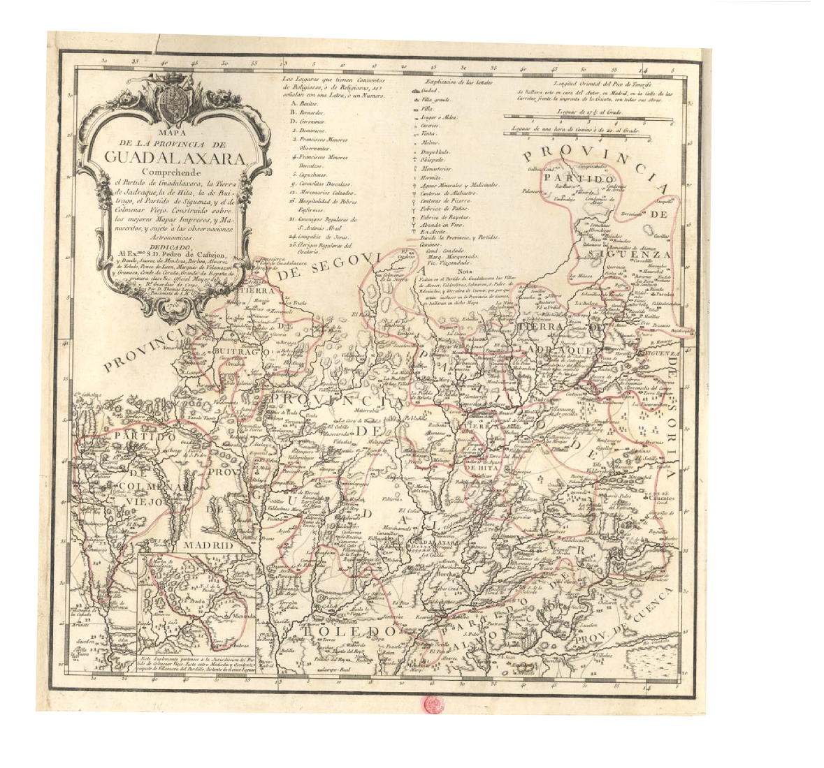
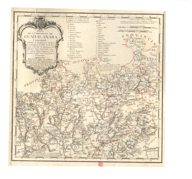
English: Map of province of Guadalajara (Spain), by Tomás López in 1766.
Español: Mapa de la provincia de Guadalajara, realizado por Tomás Lopez en 1766. |
||||||||||||||||||||
| Date | |||||||||||||||||||||
| Source | Instituto Geografico Nacional de España. | ||||||||||||||||||||
| Author |
|
||||||||||||||||||||
_Tom%C3%A1s_L%C3%B3pez.jpg)
Licensing
edit
|
This work is in the public domain in its country of origin and other countries and areas where the copyright term is the author's life plus 100 years or fewer. | |
| This file has been identified as being free of known restrictions under copyright law, including all related and neighboring rights. | |
File history
Click on a date/time to view the file as it appeared at that time.
| Date/Time | Thumbnail | Dimensions | User | Comment | |
|---|---|---|---|---|---|
| current | 09:22, 9 June 2010 | | 1,179 × 1,100 (1.83 MB) | Carlosblh (talk | contribs) | {{Information |Description={{en|1=Map of province of Guadalajara (Spain), by Tomás López in 1766.}} {{es|1=Mapa de la provincia de Guadalajara, realizado por Tomás Lopez en 1766.}} |Source=Instituto Geografico Nacional de España. |Author=Tomás López |
You cannot overwrite this file.
File usage on Commons
There are no pages that use this file.
File usage on other wikis
The following other wikis use this file:
- Usage on es.wikipedia.org