File:Provinciaal Domein Raversijde R01.jpg
Size of this preview: 800 × 567 pixels. Other resolutions: 320 × 227 pixels | 640 × 454 pixels | 1,024 × 726 pixels | 1,280 × 908 pixels | 2,560 × 1,815 pixels | 4,489 × 3,183 pixels.
Original file (4,489 × 3,183 pixels, file size: 7.73 MB, MIME type: image/jpeg)
Captions
Captions
Add a one-line explanation of what this file represents
Summary
edit
| Description |
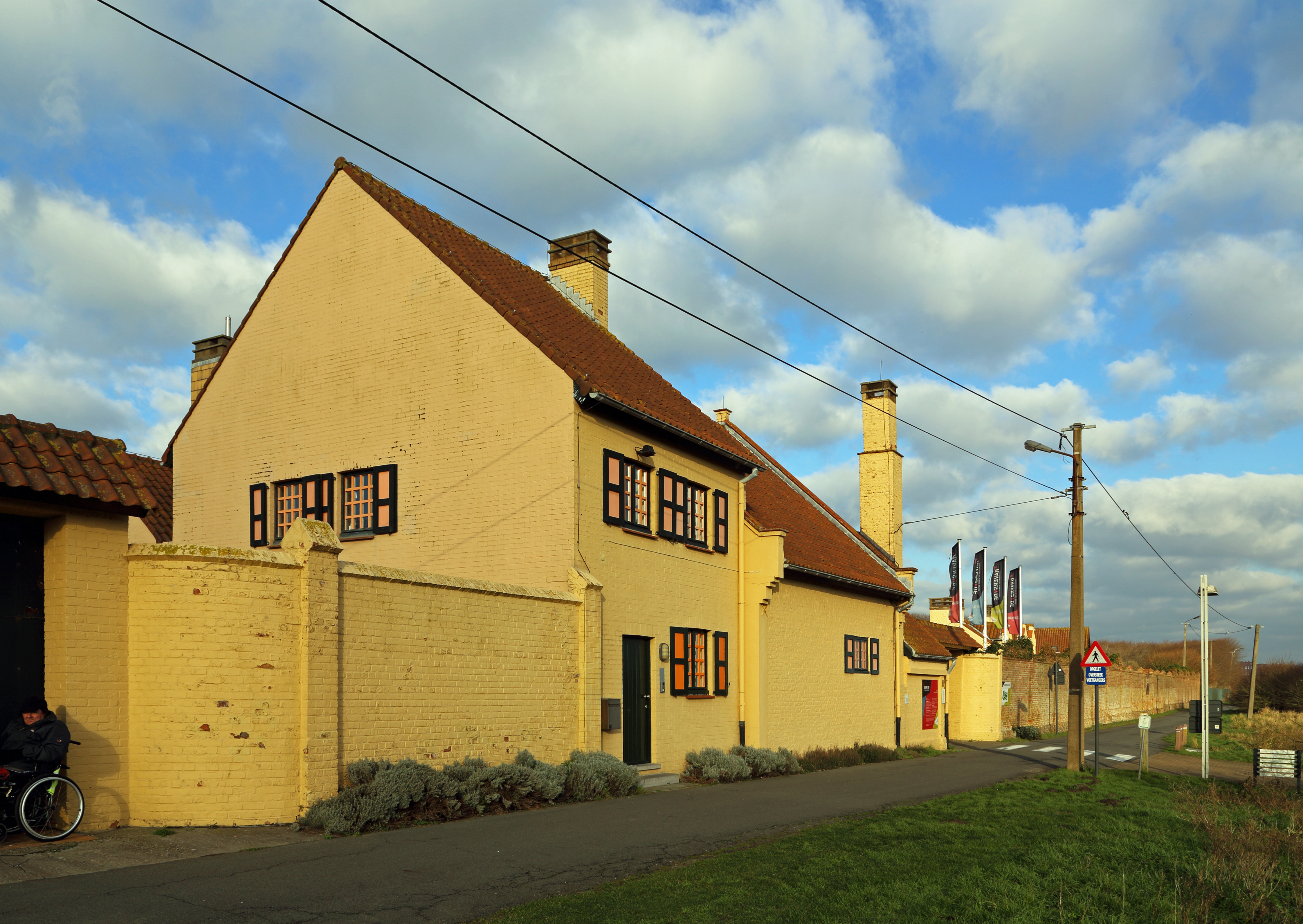
Nederlands: Oostende (provincie West-Vlaanderen, België): provinciaal domein Raversijde English: Ostend (province of West Flanders, Belgium): provincial domain of Raversijde Français : Ostende (province de Flandre Occidentale, Belgique) : le domaine provincial de Raversijde
|
||
| Date | |||
| Source | Own work | ||
| Author | Marc Ryckaert (MJJR) |
| Camera location | | View this and other nearby images on: OpenStreetMap |
|---|
Licensing
edit
I, the copyright holder of this work, hereby publish it under the following license:
This file is licensed under the Creative Commons Attribution 3.0 Unported license.
- You are free:
- to share – to copy, distribute and transmit the work
- to remix – to adapt the work
- Under the following conditions:
- attribution – You must give appropriate credit, provide a link to the license, and indicate if changes were made. You may do so in any reasonable manner, but not in any way that suggests the licensor endorses you or your use.
File history
Click on a date/time to view the file as it appeared at that time.
| Date/Time | Thumbnail | Dimensions | User | Comment | |
|---|---|---|---|---|---|
| current | 22:11, 8 January 2015 | | 4,489 × 3,183 (7.73 MB) | MJJR (talk | contribs) | Brightness adjusted |
| 21:56, 8 January 2015 |  | 4,465 × 3,222 (7.42 MB) | MJJR (talk | contribs) | User created page with UploadWizard |
You cannot overwrite this file.
File usage on Commons
There are no pages that use this file.
File usage on other wikis
The following other wikis use this file:
- Usage on nl.wikipedia.org
- Usage on vls.wikipedia.org