File:Public Footpath - geograph.org.uk - 284283.jpg
No higher resolution available.
Public_Footpath_-_geograph.org.uk_-_284283.jpg (640 × 446 pixels, file size: 93 KB, MIME type: image/jpeg)
Captions
Captions
Add a one-line explanation of what this file represents
Summary edit
| Description |
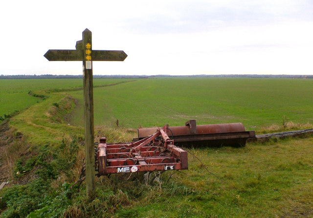
English: The public footpath running South from the Humber bank is raised up on a rubble causeway, only the nearest 50m or so is in TA0925. The field of winter wheat is very large - about 1000m by 400m - I calculate that as being approximately 80 acres. |
||
| Date | |||
| Source | From geograph.org.uk | ||
| Author | David Wright | ||
| Permission (Reusing this file) |
This file is licensed under the Creative Commons Attribution-Share Alike 2.0 Generic license. Attribution: David Wright
|
||
| Attribution (required by the license) | David Wright / Public Footpath / | ||

| Camera location | | View this and other nearby images on: OpenStreetMap |
|---|
_heading:180.00&language=en)
| Object location | | View this and other nearby images on: OpenStreetMap |
|---|
_heading:180.00&language=en)
File history
Click on a date/time to view the file as it appeared at that time.
| Date/Time | Thumbnail | Dimensions | User | Comment | |
|---|---|---|---|---|---|
| current | 19:51, 14 December 2010 | | 640 × 446 (93 KB) | GeographBot (talk | contribs) | == {{int:filedesc}} == {{Information |description={{en|1=Public Footpath The public footpath running South from the Humber bank is raised up on a rubble causeway, only the nearest 50m or so is in TA0925. The field of winter wheat is very large - about 100 |
You cannot overwrite this file.
File usage on Commons
There are no pages that use this file.