File:Public restrooms on Boulder Creek Trail near Orodell.jpg

Size of this preview: 337 × 599 pixels. Other resolutions: 135 × 240 pixels | 270 × 480 pixels | 432 × 768 pixels | 576 × 1,024 pixels | 2,268 × 4,032 pixels.
Original file (2,268 × 4,032 pixels, file size: 3.53 MB, MIME type: image/jpeg)
Captions
Captions
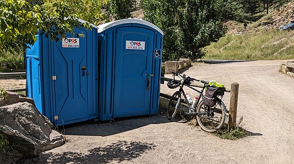
Public restrooms on Boulder Creek Trail near Orodell

If the thumbnail on the right side is in the correct orientation, please just purge this image (maybe refresh your browser cache) and remove this template.

Summary edit
| Description |
English: Two blue portable toilets next to a crushed gravel path. Next to the toilets is a bicycle leaning against a rail fence. |
| Date | 19 August 2023 (according to Exif data) |
| Source | Own work |
| Author | Boulderalf |
| Camera location | | View this and other nearby images on: OpenStreetMap |
|---|
Licensing edit
I, the copyright holder of this work, hereby publish it under the following license:
This file is licensed under the Creative Commons Attribution-Share Alike 4.0 International license.
- You are free:
- to share – to copy, distribute and transmit the work
- to remix – to adapt the work
- Under the following conditions:
- attribution – You must give appropriate credit, provide a link to the license, and indicate if changes were made. You may do so in any reasonable manner, but not in any way that suggests the licensor endorses you or your use.
- share alike – If you remix, transform, or build upon the material, you must distribute your contributions under the same or compatible license as the original.
| This file was uploaded via Mobile Android App (Commons mobile app) 4.2.1~14b6c455b. |
File history
Click on a date/time to view the file as it appeared at that time.
| Date/Time | Thumbnail | Dimensions | User | Comment | |
|---|---|---|---|---|---|
| current | 18:52, 6 March 2024 | | 2,268 × 4,032 (3.53 MB) | Boulderalf (talk | contribs) | Uploaded using Commons Mobile App |
You cannot overwrite this file.
File usage on Commons
The following 3 pages use this file: