File:Puente sobre el Río Agrés. - panoramio.jpg

Size of this preview: 797 × 600 pixels. Other resolutions: 319 × 240 pixels | 638 × 480 pixels | 1,021 × 768 pixels | 1,237 × 931 pixels.
Original file (1,237 × 931 pixels, file size: 255 KB, MIME type: image/jpeg)
Captions
Captions
Add a one-line explanation of what this file represents
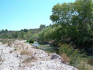
| Description | Puente sobre el Río Agrés. | ||
| Date | 11 October 2010 (original upload date) | ||
| Source | https://web.archive.org/web/20161017040611/http://www.panoramio.com/photo/42025027 | ||
| Author | Allpe | ||
| Permission (Reusing this file) |
This file is licensed under the Creative Commons Attribution 3.0 Unported license. Attribution: Allpe
|
||
| Tags (from Panoramio photo page) | El Comtat |
| Camera location | | View this and other nearby images on: OpenStreetMap |
|---|
File history
Click on a date/time to view the file as it appeared at that time.
| Date/Time | Thumbnail | Dimensions | User | Comment | |
|---|---|---|---|---|---|
| current | 20:10, 13 November 2016 | | 1,237 × 931 (255 KB) | Panoramio upload bot (talk | contribs) | {{Information |description=Puente sobre el Río Agrés. |date={{Original upload date|2010-10-11}} |source=http://www.panoramio.com/photo/42025027 |author=[http://www.panoramio.com/user/1640343?with_photo_id=42025027 Allpe] |permission={{cc-by-3.0|Allpe... |
You cannot overwrite this file.
File usage on Commons
The following page uses this file:
File usage on other wikis
The following other wikis use this file:
- Usage on ca.wikipedia.org
- Usage on ceb.wikipedia.org
- Usage on da.wikipedia.org
- Usage on es.wikipedia.org
- Usage on www.wikidata.org