File:Puits-de-petrole-du-Cap-Ferret-byRundvald.jpg
Size of this preview: 800 × 600 pixels. Other resolutions: 320 × 240 pixels | 640 × 480 pixels | 1,024 × 768 pixels | 1,280 × 960 pixels | 2,560 × 1,920 pixels | 4,032 × 3,024 pixels.
Original file (4,032 × 3,024 pixels, file size: 14.55 MB, MIME type: image/jpeg)
Captions
Captions
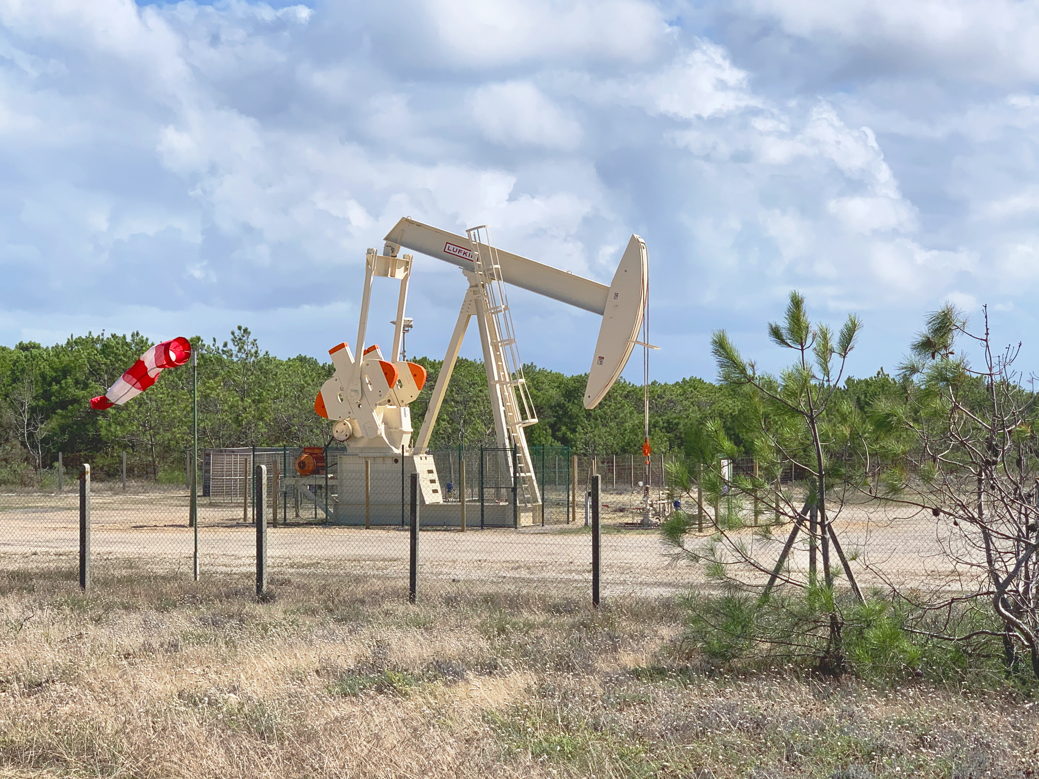
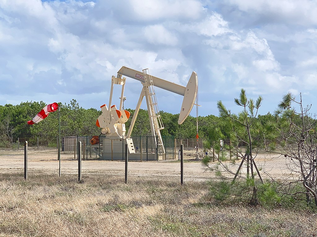
The Cap Ferret oil well in Gironde, operated by Vermilion Energy.
Summary
edit
| Description |
Français : Le puits de pétrole du Cap Ferret en Gironde, exploité par la société Vermilion Energy. English: The Cap Ferret oil well in Gironde, operated by Vermilion Energy. |
| Date | |
| Source | Own work |
| Author | Rundvald |
| OpenStreetMap | Node 12099715312 |
| Object location | | View this and other nearby images on: OpenStreetMap |
|---|
Licensing
edit
I, the copyright holder of this work, hereby publish it under the following license:
This file is licensed under the Creative Commons Attribution-Share Alike 4.0 International license.
- You are free:
- to share – to copy, distribute and transmit the work
- to remix – to adapt the work
- Under the following conditions:
- attribution – You must give appropriate credit, provide a link to the license, and indicate if changes were made. You may do so in any reasonable manner, but not in any way that suggests the licensor endorses you or your use.
- share alike – If you remix, transform, or build upon the material, you must distribute your contributions under the same or compatible license as the original.
File history
Click on a date/time to view the file as it appeared at that time.
| Date/Time | Thumbnail | Dimensions | User | Comment | |
|---|---|---|---|---|---|
| current | 20:13, 15 July 2022 | | 4,032 × 3,024 (14.55 MB) | Rundvald (talk | contribs) | Uploaded own work with UploadWizard |
You cannot overwrite this file.
File usage on Commons
The following 2 pages use this file:
File usage on other wikis
The following other wikis use this file:
- Usage on en.wikipedia.org
- Usage on fr.wikipedia.org