File:Punt Russein Geländerelief Swisstopo.jpg
Original file (1,166 × 762 pixels, file size: 190 KB, MIME type: image/jpeg)
Captions
Captions
Summary edit
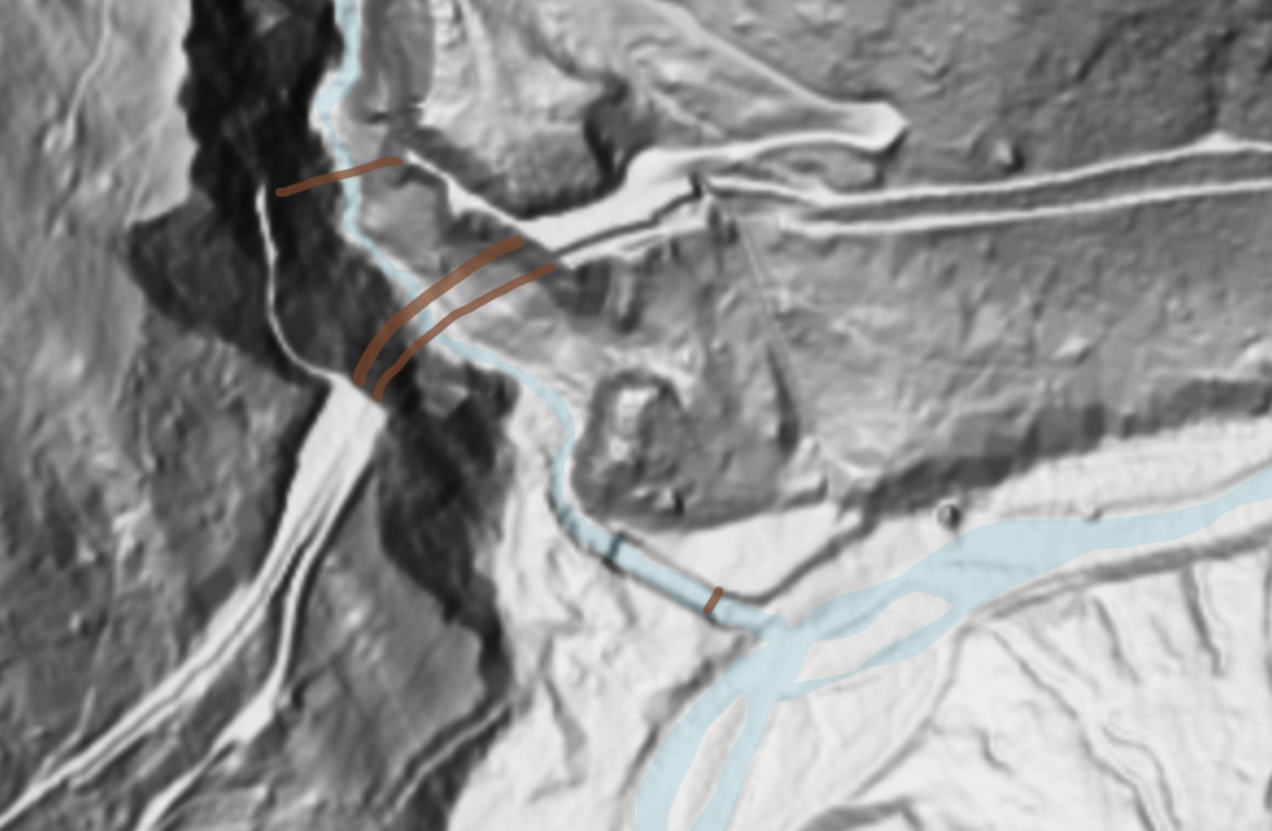
| Description |
Deutsch: Relief (Geländemodell) der Val Russein bei Punt Russein und der Einmündung in den Vorderrhein, Graubünden, Schweiz English: Raised-relief map (terrain model) of Val Russein at Punt Russein and the river mouth into Vorderrhein, Surselva, Switzerland |
| Source | Swisstopo |
| Author | Swisstopo; color added to waterbodies and bridges for better readability by User:Albinfo |
| Other versions | Bundesamt für Landestopografie swisstopo |
The data made publicly available by swisstopo may be used, distributed and made accessible. Furthermore, they may be enriched and processed and also used commercially. A reference to the source is mandatory. In the case of digital or analogue representations and publications, as well as in the case of dissemination, one of the following source references must be attached in any case:
Terms of use for free geodata and geoservices (OGD) from swisstopo
|
.svg) |
File history
Click on a date/time to view the file as it appeared at that time.
| Date/Time | Thumbnail | Dimensions | User | Comment | |
|---|---|---|---|---|---|
| current | 11:39, 4 April 2022 | | 1,166 × 762 (190 KB) | Albinfo (talk | contribs) | {{Information |Description={{de|Relief (Geländemodell) der Val Russein bei Punt Russein und der Einmündung in den Vorderrhein, Graubünden, Schweiz}}{{en|Raised-relief map (terrain model) of Val Russein at Punt Russein and the river mouth into Vorderrhein, Surselva, Switzerland}} |Source=[https://s.geo.admin.ch/971fb4578b Swisstopo] |Date= |Author=Swisstopo; color of water and bridges for better readability added by User:Albinfo |Permission= |other_versions=[[:de:Bundesamt für Landestopog... |
You cannot overwrite this file.
File usage on Commons
There are no pages that use this file.
File usage on other wikis
The following other wikis use this file:
- Usage on de.wikipedia.org