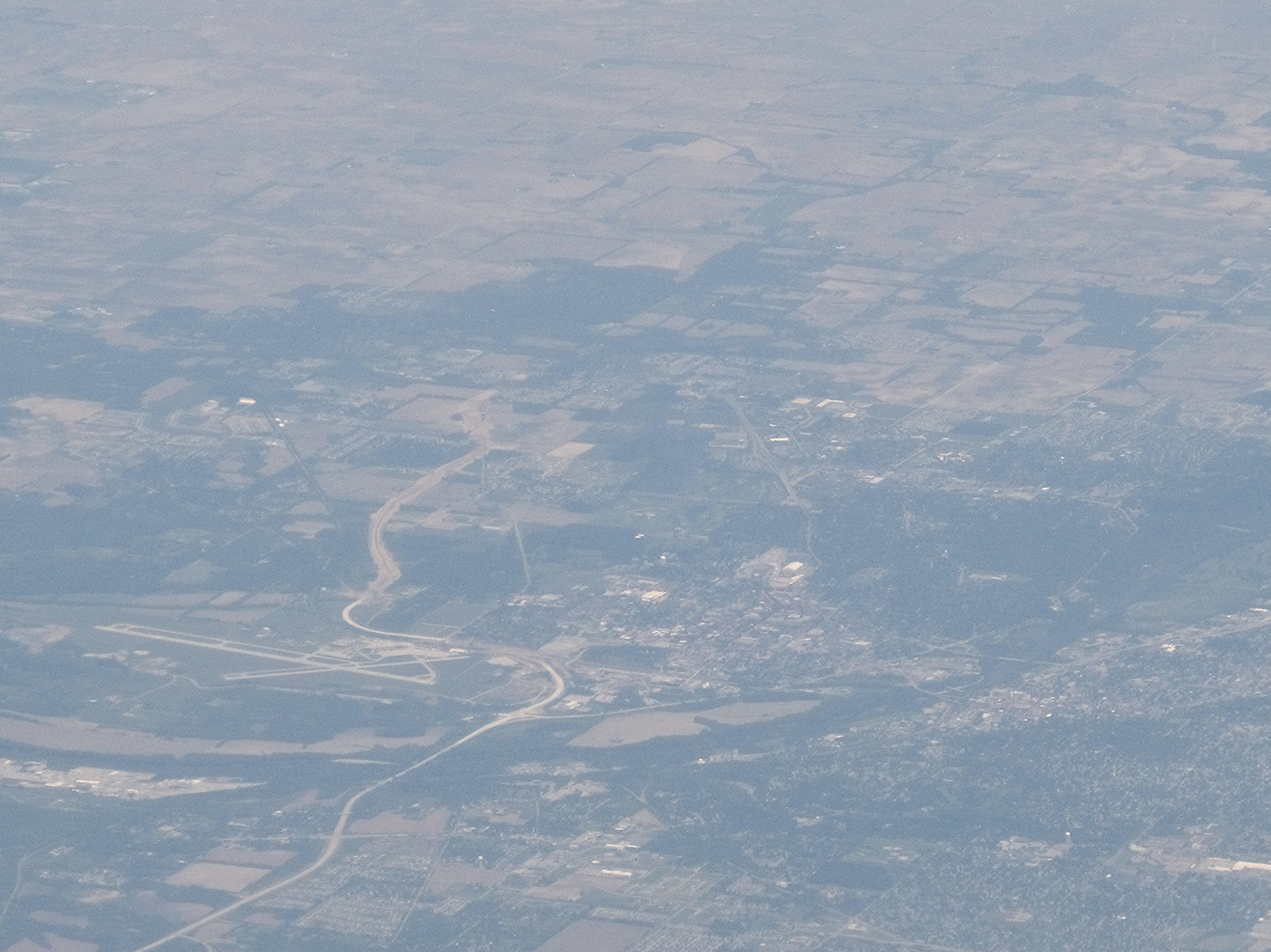
File:Purdue University, West Lafayette, Indiana (7235231936).jpg
Original file (2,293 × 1,718 pixels, file size: 2.81 MB, MIME type: image/jpeg)
Captions
Captions
Summary edit
.jpg&action=edit§ion=1)
| Description |
Purdue University, located in West Lafayette, Indiana, U.S., is the flagship university of the six-campus Purdue University system. Purdue was founded on May 6, 1869, as a land-grant university when the Indiana General Assembly, taking advantage of the Morrill Act, accepted a donation of land and money from Lafayette businessman John Purdue to establish a college of science, technology, and agriculture in his name. The first classes were held on September 16, 1874, with six instructors and 39 students. Today, Purdue enrolls the second largest student body of any university in Indiana as well as the second largest international student population of any public university in the United States. Purdue offers both undergraduate and graduate programs in over 210 major areas of study, and is well known for its competitive engineering curricula. The university has also been highly influential in America's history of aviation, having established the first college credit offered in flight training, the first four-year bachelor's degree in aviation, and the first university airport (Purdue University Airport). In the mid-20th century, Purdue's aviation program expanded to encompass advanced spaceflight technology giving rise to Purdue's nickname, Cradle of Astronauts. Twenty-two Purdue graduates have gone on to become astronauts, including Gus Grissom (one of the original Mercury Seven astronauts), Neil Armstrong (the first person to walk on the moon), and Eugene Cernan (the most recent person to walk on the moon). en.wikipedia.org/wiki/Purdue_University en.wikipedia.org/wiki/Wikipedia:Text_of_Creative_Commons_... |
| Date | |
| Source | Purdue University, West Lafayette, Indiana |
| Author | Ken Lund from Reno, Nevada, USA |
| Camera location | | View this and other nearby images on: OpenStreetMap |
|---|
.jpg¶ms=040.424245_N_-086.919171_E_globe:Earth_type:camera_source:Flickr_&language=en)
Licensing edit
.jpg&action=edit§ion=2)
- You are free:
- to share – to copy, distribute and transmit the work
- to remix – to adapt the work
- Under the following conditions:
- attribution – You must give appropriate credit, provide a link to the license, and indicate if changes were made. You may do so in any reasonable manner, but not in any way that suggests the licensor endorses you or your use.
- share alike – If you remix, transform, or build upon the material, you must distribute your contributions under the same or compatible license as the original.
| This image was originally posted to Flickr by Ken Lund at https://flickr.com/photos/75683070@N00/7235231936. It was reviewed on 3 December 2015 by FlickreviewR and was confirmed to be licensed under the terms of the cc-by-sa-2.0. |
File history
Click on a date/time to view the file as it appeared at that time.
| Date/Time | Thumbnail | Dimensions | User | Comment | |
|---|---|---|---|---|---|
| current | 22:25, 3 December 2015 | | 2,293 × 1,718 (2.81 MB) | INeverCry (talk | contribs) | Transferred from Flickr via Flickr2Commons |
You cannot overwrite this file.
File usage on Commons
There are no pages that use this file.
.jpg&oldid=754851318)