File:Pustovnikova-diera-pliesovce.jpg
Size of this preview: 800 × 552 pixels. Other resolutions: 320 × 221 pixels | 640 × 441 pixels | 1,024 × 706 pixels | 1,280 × 883 pixels | 2,048 × 1,412 pixels.
Original file (2,048 × 1,412 pixels, file size: 966 KB, MIME type: image/jpeg)
Captions
Captions
Add a one-line explanation of what this file represents
Summary
edit
| Description |
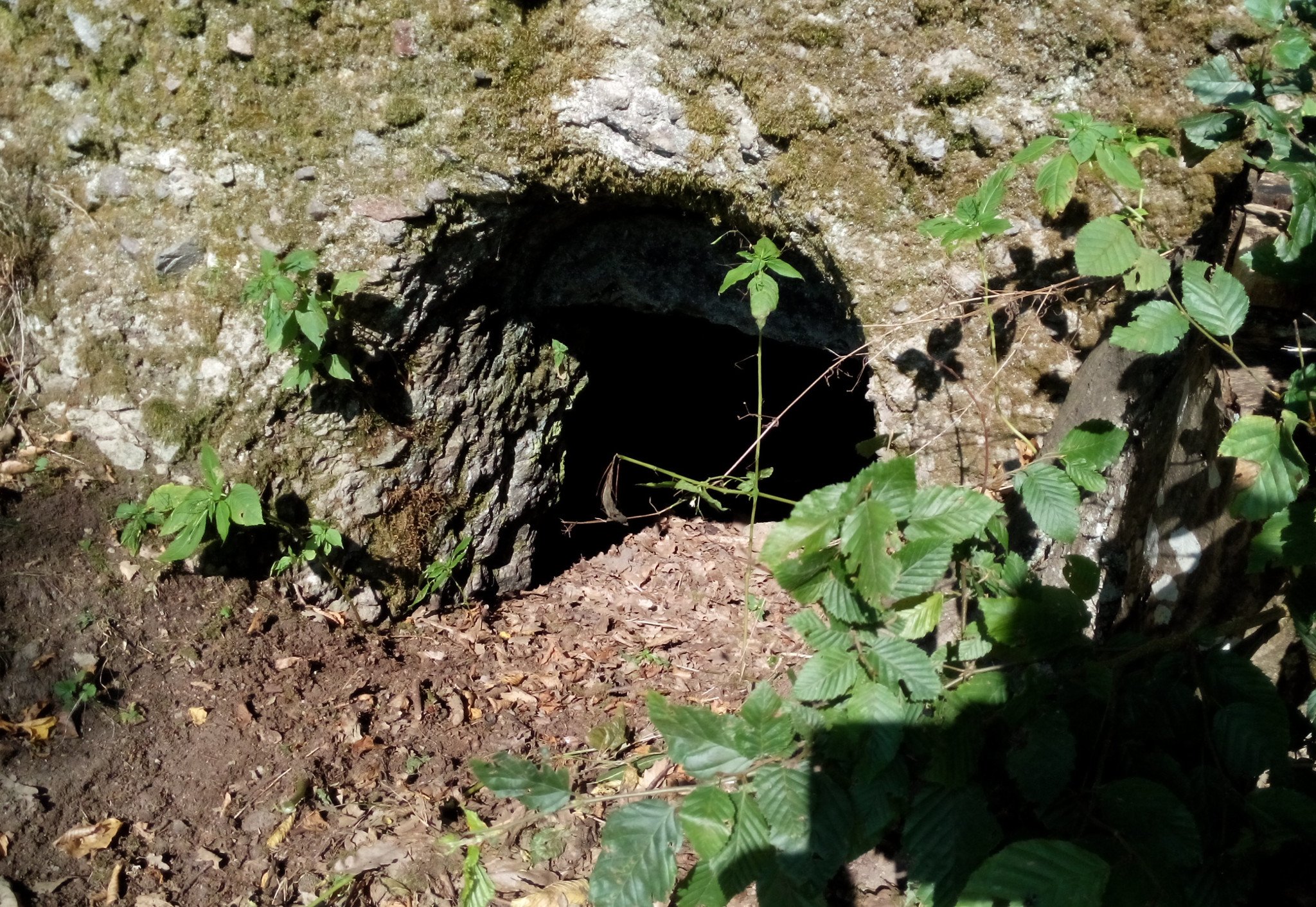
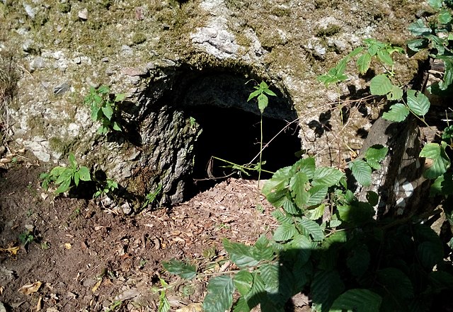
English: Hermit's hole, Pliešovce
Slovenčina: Pustovníkova diera, Pliešovce |
| Date | |
| Source | i am author |
| Author | Peter Vojtek |
| Camera location | | View this and other nearby images on: OpenStreetMap |
|---|
Licensing
edit
I, the copyright holder of this work, hereby publish it under the following licenses:

|
Permission is granted to copy, distribute and/or modify this document under the terms of the GNU Free Documentation License, Version 1.2 or any later version published by the Free Software Foundation; with no Invariant Sections, no Front-Cover Texts, and no Back-Cover Texts. A copy of the license is included in the section entitled GNU Free Documentation License. |
This file is licensed under the Creative Commons Attribution-Share Alike 3.0 Unported, 2.5 Generic, 2.0 Generic and 1.0 Generic license.
- You are free:
- to share – to copy, distribute and transmit the work
- to remix – to adapt the work
- Under the following conditions:
- attribution – You must give appropriate credit, provide a link to the license, and indicate if changes were made. You may do so in any reasonable manner, but not in any way that suggests the licensor endorses you or your use.
- share alike – If you remix, transform, or build upon the material, you must distribute your contributions under the same or compatible license as the original.
You may select the license of your choice.
File history
Click on a date/time to view the file as it appeared at that time.
| Date/Time | Thumbnail | Dimensions | User | Comment | |
|---|---|---|---|---|---|
| current | 17:42, 4 September 2015 | | 2,048 × 1,412 (966 KB) | Peter.vojtek (talk | contribs) | {{Information |Description ={{en|1=Hermit's hole, Pliešovce}} {{sk|1=Pustovníkova diera, Pliešovce}} |Source =i am author |Author =Peter Vojtek |Date =2015-09-03 |Permission = |other_versions = }} |
You cannot overwrite this file.
File usage on Commons
There are no pages that use this file.