File:Qasr Kharaneh Exterior.jpg

Size of this preview: 800 × 533 pixels. Other resolutions: 320 × 213 pixels | 640 × 427 pixels | 1,024 × 683 pixels | 1,280 × 854 pixels | 2,500 × 1,667 pixels.
Original file (2,500 × 1,667 pixels, file size: 726 KB, MIME type: image/jpeg)
Captions
Captions
Add a one-line explanation of what this file represents
Summary edit
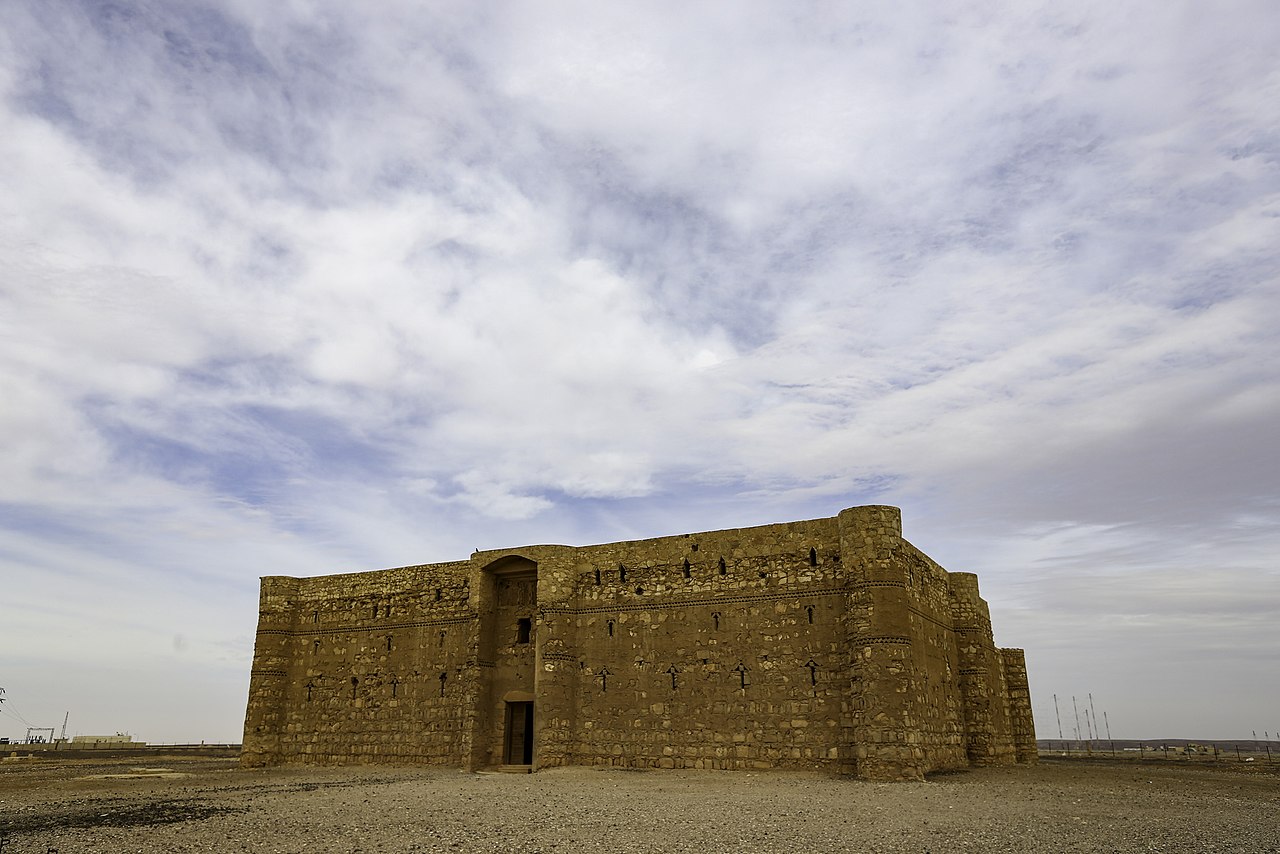
| Qasr Kharana
|
||||
|---|---|---|---|---|
| Author |  | |||
| Title |
Qasr Kharana |
|||
| Object type |
Umayyad desert castles |
|||
| Description |
English: Qasr Kharaneh Exterior |
|||
| Date | 25 January 2013, 11:09:58 | |||
| Object location |
|
|||
| References |
Sketchfab |
|||
| Authority file | ||||
| Source | Bashar Tabbah | |||
| Permission (Reusing this file) |
||||
| Camera location | | View this and other nearby images on: OpenStreetMap |
|---|
Licensing edit
This file is licensed under the Creative Commons Attribution-Share Alike 4.0 International license.
- You are free:
- to share – to copy, distribute and transmit the work
- to remix – to adapt the work
- Under the following conditions:
- attribution – You must give appropriate credit, provide a link to the license, and indicate if changes were made. You may do so in any reasonable manner, but not in any way that suggests the licensor endorses you or your use.
- share alike – If you remix, transform, or build upon the material, you must distribute your contributions under the same or compatible license as the original.
File history
Click on a date/time to view the file as it appeared at that time.
| Date/Time | Thumbnail | Dimensions | User | Comment | |
|---|---|---|---|---|---|
| current | 13:20, 14 October 2019 | | 2,500 × 1,667 (726 KB) | Flycatchr (talk | contribs) | User created page with UploadWizard |
You cannot overwrite this file.
File usage on Commons
The following page uses this file: