File:Régions occupées par les Belligérantes (Balkan Wars 1913).jpg

Size of this preview: 583 × 599 pixels. Other resolutions: 233 × 240 pixels | 467 × 480 pixels | 747 × 768 pixels | 996 × 1,024 pixels | 1,992 × 2,048 pixels | 3,114 × 3,201 pixels.
Original file (3,114 × 3,201 pixels, file size: 1.49 MB, MIME type: image/jpeg)
Captions
Captions
Add a one-line explanation of what this file represents
Summary
edit| Title |
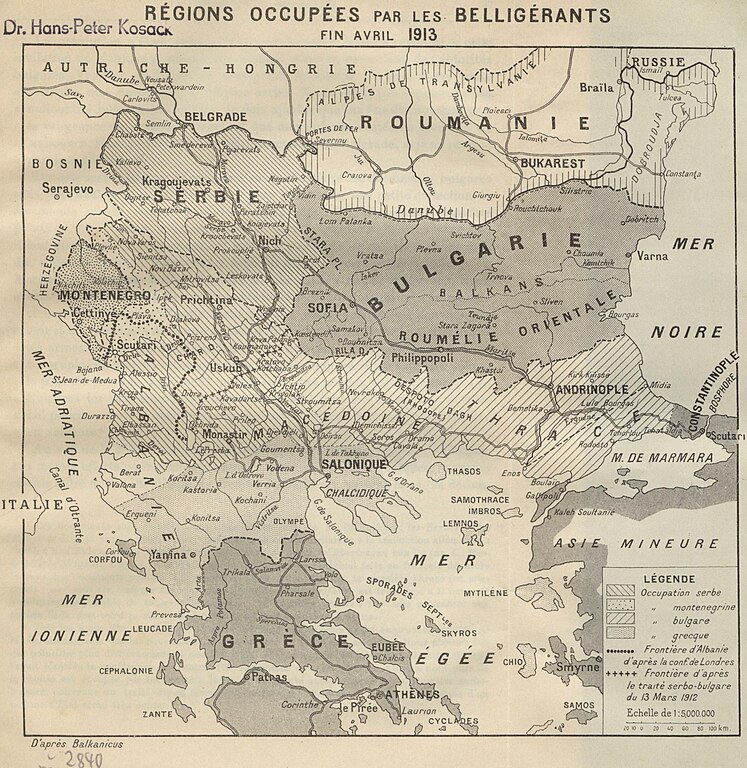
Règions occupèes par les belligèrants fin avril 1913 |
|||||||||||||||||||||||
| Description |
Deutsch: SüdosteuropaBalkankrieg<1912-1913> |
|||||||||||||||||||||||
| Date | ||||||||||||||||||||||||
| Source | Leibniz-Institut für Ost- und Südosteuropaforschung (IOS) GeoPortOst | |||||||||||||||||||||||
| Permission (Reusing this file) |
|
|||||||||||||||||||||||
| Geotemporal data | ||||||||||||||||||||||||
| Date depicted | ||||||||||||||||||||||||
| Map location | Südosteuropa | |||||||||||||||||||||||
| Map type | Geschichtskarte | |||||||||||||||||||||||
| Bounding box |
|
|||||||||||||||||||||||
| Georeferencing | ||||||||||||||||||||||||
| Bibliographic data | ||||||||||||||||||||||||
| Map sheet | [nach S. 36] | |||||||||||||||||||||||
| Language | French | |||||||||||||||||||||||
| Archival data | ||||||||||||||||||||||||
| Collection |
|
|||||||||||||||||||||||
| Accession number |
BV042760552 |
|||||||||||||||||||||||

.jpg&action=edit§ion=1)
Licensing
edit.jpg&action=edit§ion=2)
|
This work is in the public domain in its country of origin and other countries and areas where the copyright term is the author's life plus 70 years or fewer. | |
| This file has been identified as being free of known restrictions under copyright law, including all related and neighboring rights. | |
File history
Click on a date/time to view the file as it appeared at that time.
| Date/Time | Thumbnail | Dimensions | User | Comment | |
|---|---|---|---|---|---|
| current | 18:07, 24 November 2023 | | 3,114 × 3,201 (1.49 MB) | Enyavar (talk | contribs) | Cropped 18 % horizontally, 21 % vertically, rotated 0.2° using CropTool with precise mode. |
| 21:17, 19 February 2019 |  | 3,804 × 4,056 (1.92 MB) | H.bauer26 (talk | contribs) | pattypan 18.02 |
You cannot overwrite this file.
File usage on Commons
The following 2 pages use this file:
.jpg&oldid=824842927)